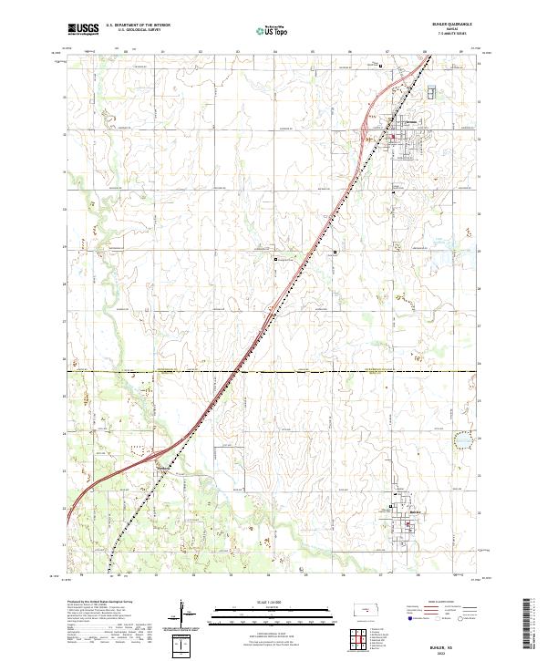
2022 Map of Buhler
USGS Topo · Published 2022About this map
The Little Arkansas River meanders across this rural Kansas landscape on the border of McPherson and Reno Counties, anchoring a region defined by agricultural plots and quiet settlements. The town of Buhler sits at the southern edge, while Inman occupies the northeast corner, both serving as central nodes for the surrounding farming community. The map reveals a high concentration of burial grounds, including the Thiessen Family Cem, Buhler Municipal Cem, and Inman North Cem, which provide significant data points for local genealogy researchers. The terrain is marked by interesting hydrological features such as the Little Sinkhole and Dirks Lake, while the local transportation network is laid out in a rigid grid of roads named for indigenous tribes, including Cheyenne Rd, Arapaho Rd, and Cherokee Rd. Near the western boundary, the small community of Medora marks a junction in the rail and road corridor.
Find a feature on this map
34 named features on this map. Tap any name to fly to it.
Don’t see what you’re looking for? This feature index may not catch every label — zoom into the map to look around manually.
Map Details
Editions of this 2022 Buhler Map
This is the sole edition of this map. No revisions or reprints were ever made.
Other maps of this area

1891 · Hutchinson
USGS Topo · 1:125,000

1893 · Hutchinson
USGS Topo · 1:125,000

1955 · Hutchinson
USGS Topo · 1:250,000

1959 · Hutchinson
USGS Topo · 1:250,000
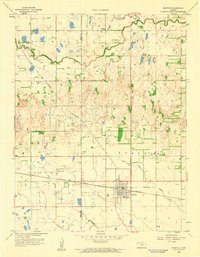
1959 · Burrton
USGS Topo · 1:24,000
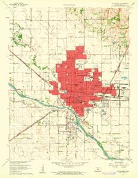
1960 · Hutchinson
USGS Topo · 1:24,000
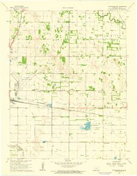
1961 · Hutchinson SE
USGS Topo · 1:24,000

1964 · Windom SW
USGS Topo · 1:24,000

1964 · Conway
USGS Topo · 1:24,000

1965 · Mc Pherson South
USGS Topo · 1:24,000