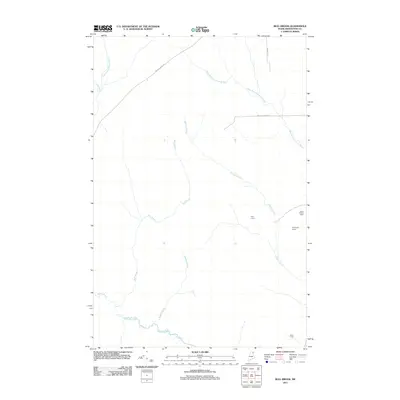
2011 Map of Bull Brook
USGS Topo · Published 2011About this map
Gardner Brook and Bull Brook define the drainage of this northern Aroostook County landscape, where the terrain is marked by a network of logging and access roads rather than established towns. The area is characterized by scattered outposts such as Hoit Camp and Thompson Camp, which suggest a history of seasonal or industrial land use typical of the North Maine Woods. At the higher elevations, the Story Hill Fire Tower stands as a prominent landmark for forestry observation.
Find a feature on this map
15 named features on this map. Tap any name to fly to it.
Don’t see what you’re looking for? This feature index may not catch every label — zoom into the map to look around manually.
Map Details
Editions of this 2011 Bull Brook Map
This is the sole edition of this map. No revisions or reprints were ever made.
Other maps of this area

1929 · Portage
USGS Topo · 1:62,500

1929 · Caribou
USGS Topo · 1:48,000

1931 · Ashland
USGS Topo · 1:48,000

1931 · Portage
USGS Topo · 1:62,500

1932 · Caribou
USGS Topo · 1:62,500

1934 · Ashland
USGS Topo · 1:62,500

1935 · Presque Isle
USGS Topo · 1:62,500

1953 · Ashland
USGS Topo · 1:62,500

1953 · Portage
USGS Topo · 1:62,500

1953 · Presque Isle
USGS Topo · 1:62,500