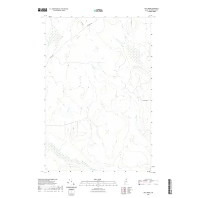
2021 Map of Bull Brook
USGS Topo · Published 2021About this map
Bull Brook winds through this heavily forested and wetland-rich corner of Aroostook County, highlighting the complex drainage patterns characteristic of the Maine woods. The landscape is defined by its network of waterways, including E Br Beaver Brook and W Br Salmon Brook, which flow through undulating terrain shaped by glacial activity. Historically, these brooks were vital for early timber transport and regional drainage, feeding into larger systems that supported the local logging economy.
Find a feature on this map
11 named features on this map. Tap any name to fly to it.
Don’t see what you’re looking for? This feature index may not catch every label — zoom into the map to look around manually.
Map Details
Editions of this 2021 Bull Brook Map
This is the sole edition of this map. No revisions or reprints were ever made.
Other maps of this area

1929 · Portage
USGS Topo · 1:62,500

1929 · Caribou
USGS Topo · 1:48,000

1931 · Ashland
USGS Topo · 1:48,000

1931 · Portage
USGS Topo · 1:62,500

1932 · Caribou
USGS Topo · 1:62,500

1934 · Ashland
USGS Topo · 1:62,500

1935 · Presque Isle
USGS Topo · 1:62,500

1953 · Ashland
USGS Topo · 1:62,500

1953 · Portage
USGS Topo · 1:62,500

1953 · Presque Isle
USGS Topo · 1:62,500