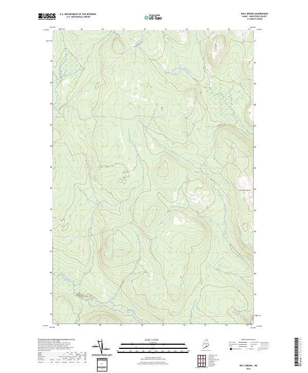
2024 Map of Bull Brook
USGS Topo · Published 2024About this map
Bull Brook and Gardner Brook carve through a heavily forested landscape in northern Maine, defining the drainage patterns of this secluded portion of Aroostook County. The map reveals a specialized network of primitive and local connector roads, such as Beaver Brook Rd and New Dunn Town Rd, which weave through the terrain to support the region's long-standing timber and outdoor industries.
Find a feature on this map
10 named features on this map. Tap any name to fly to it.
Don’t see what you’re looking for? This feature index may not catch every label — zoom into the map to look around manually.
Map Details
Editions of this 2024 Bull Brook Map
This is the sole edition of this map. No revisions or reprints were ever made.
Other maps of this area

1929 · Portage
USGS Topo · 1:62,500

1929 · Caribou
USGS Topo · 1:48,000

1931 · Ashland
USGS Topo · 1:48,000

1931 · Portage
USGS Topo · 1:62,500

1932 · Caribou
USGS Topo · 1:62,500

1934 · Ashland
USGS Topo · 1:62,500

1935 · Presque Isle
USGS Topo · 1:62,500

1953 · Ashland
USGS Topo · 1:62,500

1953 · Portage
USGS Topo · 1:62,500

1953 · Presque Isle
USGS Topo · 1:62,500