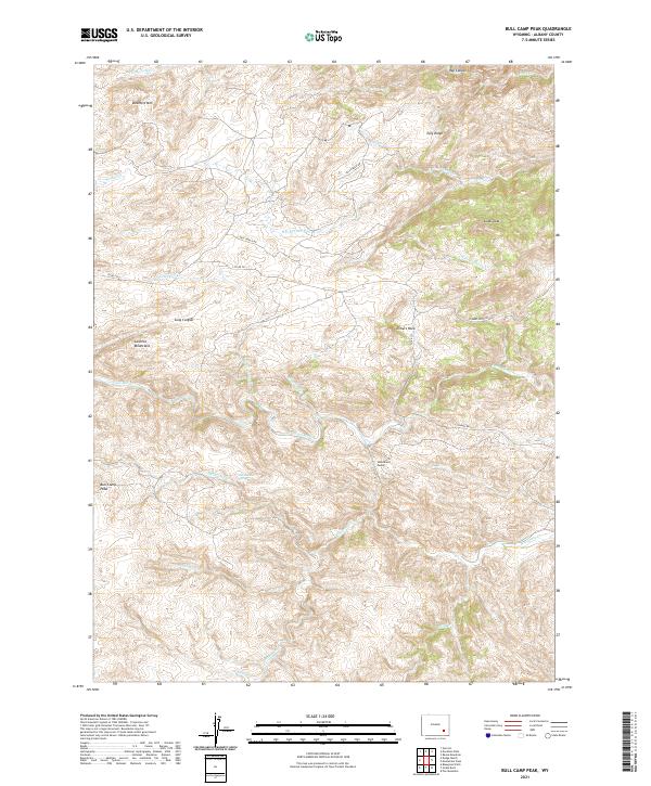
2021 Map of Bull Camp Peak
USGS Topo · Published 2021About this map
Bull Camp Peak rises above a landscape defined by the drainage networks of the Laramie River and the eastern slopes of the Laramie Mountains. This 2021 topographic study of Albany County captures the high-altitude ranching and water management infrastructure of southeastern Wyoming, notably featuring the Wheatland Tunnel. The terrain is marked by significant elevation changes, from the prominent Douthitt Mtn in the northwest to the complex branching of N Fork Cherry Cr and S Fork Cherry Cr in the northeast. Access to these remote highlands is traced through primitive routes like Vale Ranch Rd and Elmers Rock Rd, while local landmarks like Cottonwood Spring and Sugar Loaf provide points of navigation. The presence of School Cr in the south suggests the historical footprint of early rural education centers that once served this isolated ranching country.
Find a feature on this map
33 named features on this map. Tap any name to fly to it.
Don’t see what you’re looking for? This feature index may not catch every label — zoom into the map to look around manually.
Map Details
Editions of this 2021 Bull Camp Peak Map
This is the sole edition of this map. No revisions or reprints were ever made.
Other maps of this area

1954 · Torrington
USGS Topo · 1:250,000

1954 · Cheyenne
USGS Topo · 1:250,000

1955 · Poe Mountain
USGS Topo · 1:24,000

1955 · Dodge Ranch
USGS Topo · 1:24,000

1955 · Bluegrass Wells
USGS Topo · 1:24,000

1955 · Moonshine Peak
USGS Topo · 1:24,000

1955 · Guide Rock
USGS Topo · 1:24,000

1955 · Bull Camp Peak
USGS Topo · 1:24,000

1958 · Cheyenne
USGS Topo · 1:250,000

1958 · Torrington
USGS Topo · 1:250,000