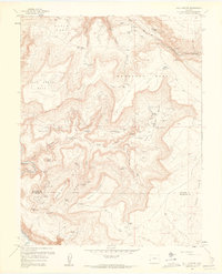
1960 Map of Bull Canyon
USGS Topo · Published 1961About this map
Monogram Mesa and the surrounding high plateaus show a landscape deeply shaped by the uranium and vanadium mining booms of the mid-20th century. This 1960 revision, based on earlier surveys, reveals an intensive network of claims and extractors across the Montrose and San Miguel county line. The terrain is marked by isolated outposts such as Indian Henrys Cabin, Wedding Bell Camp, and Bachelor Camp, which likely served as base operations for the numerous named mines nearby. Heavy industrial activity is evident along the Monogram Truck Route, which connects high-elevation operations like the Joe Dandy Mine and Aztec Mine to the lower basins. The geological complexity of the area is highlighted by deep drainages like Bull Canyon and Wild Steer Canyon, which cut through the mesas toward the Dolores River.
Find a feature on this map
54 named features on this map. Tap any name to fly to it.
Don’t see what you’re looking for? This feature index may not catch every label — zoom into the map to look around manually.
Map Details
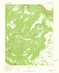
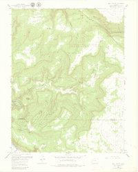
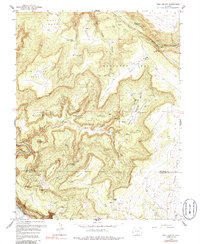
Editions of this 1960 Bull Canyon Map
4 editions found
Other maps of this area

1916 · Paradox Valley
USGS Topo · 1:125,000

1922 · Paradox Valley
USGS Topo · 1:125,000

1948 · Bull Canyon
USGS Topo · 1:24,000

1948 · Horse Range Mesa
USGS Topo · 1:24,000

1948 · Uravan
USGS Topo · 1:24,000

1948 · Hamm Canyon
USGS Topo · 1:24,000

1948 · Naturita NW
USGS Topo · 1:24,000

1948 · Paradox
USGS Topo · 1:24,000

1948 · Gypsum Gap
USGS Topo · 1:24,000

1949 · Bull Canyon
USGS Topo · 1:24,000