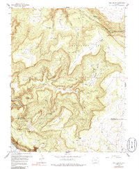
1960 Map of Bull Canyon
USGS Topo · Published 1986About this map
Indian Henrys Cabin and remote mountain encampments define this Colorado landscape as it appeared in the mid-20th century. Situated across the Montrose and San Miguel County line, the terrain is dominated by high plateaus like Monogram Mesa, Skein Mesa, and Wild Steer Mesa, deeply incised by the drainage of Bull Canyon and Wild Horse Draw. The area exhibits an intense focus on mineral extraction, evidenced by a dense network of mining claims including the Pluto Mine, Arcturus Mine, and Opera Box Mine. Settlement is sparse and largely transient, represented by locations such as Wedding Bell Camp and Bachelor Camp. In the southwestern corner, the Dolores River cuts through the canyon floor below Peters Knob, while an isolated Airstrip on the mesa tops indicates the logistical challenges of reaching these high-altitude claims.
Find a feature on this map
48 named features on this map. Tap any name to fly to it.
Don’t see what you’re looking for? This feature index may not catch every label — zoom into the map to look around manually.
Map Details
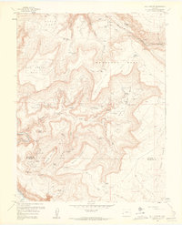
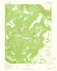
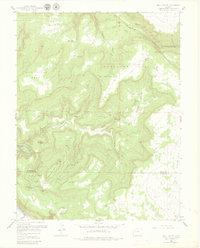
Editions of this 1960 Bull Canyon Map
4 editions found
Other maps of this area

1916 · Paradox Valley
USGS Topo · 1:125,000

1922 · Paradox Valley
USGS Topo · 1:125,000

1948 · Bull Canyon
USGS Topo · 1:24,000

1948 · Horse Range Mesa
USGS Topo · 1:24,000

1948 · Uravan
USGS Topo · 1:24,000

1948 · Hamm Canyon
USGS Topo · 1:24,000

1948 · Naturita NW
USGS Topo · 1:24,000

1948 · Paradox
USGS Topo · 1:24,000

1948 · Gypsum Gap
USGS Topo · 1:24,000

1949 · Bull Canyon
USGS Topo · 1:24,000