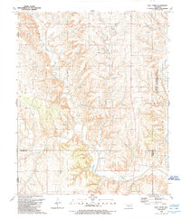
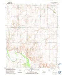
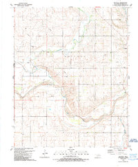
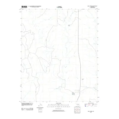
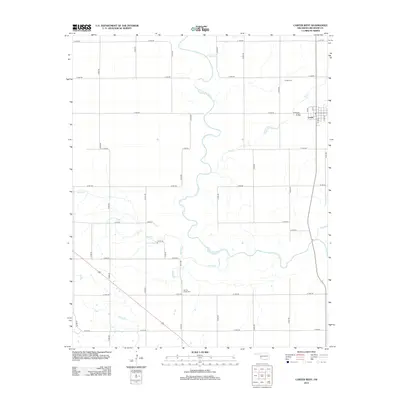
1989 Map of Bull Creek
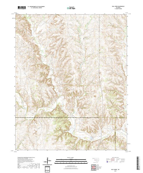
USGS Topo · Published 1989About this map
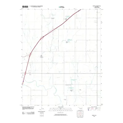
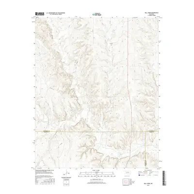
The Elm Fork Red River snakes through the southern portion of this landscape, marking a significant hydrologic feature in this corner of Western Oklahoma. The region is characterized by a network of drainage systems, including North Elm Creek, Bull Creek, and Fish Creek, which carve through the terrain near the Texas border. Historical industrial and conservation footprints are evident with the inclusion of the Salt Works near the river and the Sandy Sanders State Wildlife Management Area to the east. For those tracing local genealogy or land use, the Vanherson Cem and the labeled districts of Dabney, Madge, and Jester provide essential markers of earlier settlement patterns and community identification during the late 20th century. A specialized Gas Field further indicates the subterranean economic activity of the era.
Find a feature on this map
15 named features on this map. Tap any name to fly to it.
Don’t see what you’re looking for? This feature index may not catch every label — zoom into the map to look around manually.
Map Details
Editions of this 1989 Bull Creek Map
This is the sole edition of this map. No revisions or reprints were ever made.
Historical Maps of Beckham County Through Time
61 maps found
1961 Retrop
Beckham County, OK
1987 Hocker
Beckham County, OK
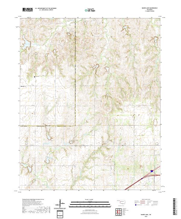
1989 Baker Lake
Beckham County, OK
1989 Bull Creek
Beckham County, OK
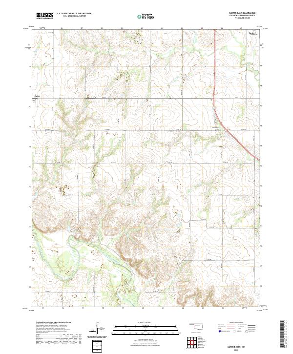
1989 Carter East
Beckham County, OK
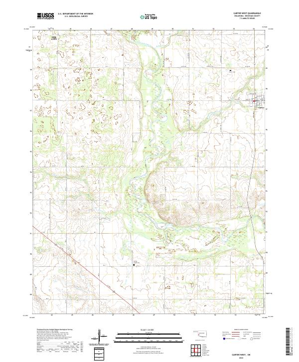
1989 Carter West
Beckham County, OK
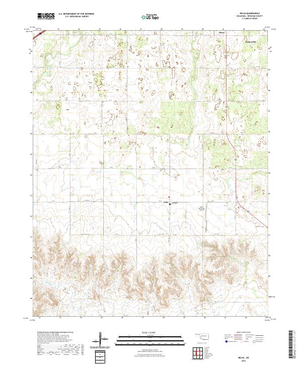
1989 Delhi
Beckham County, OK
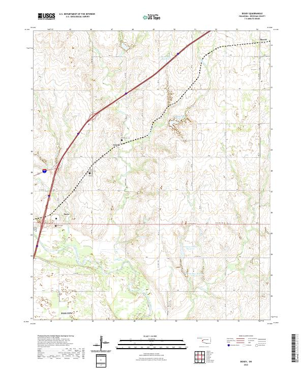
1989 Doxey
Beckham County, OK
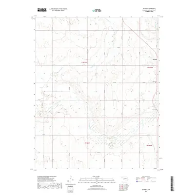
1989 Mayfield
Beckham County, OK
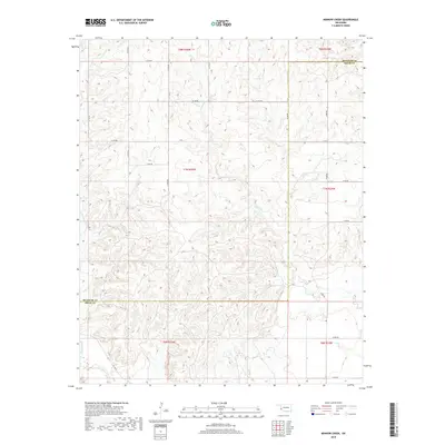
1989 Minnow Creek
Beckham County, OK
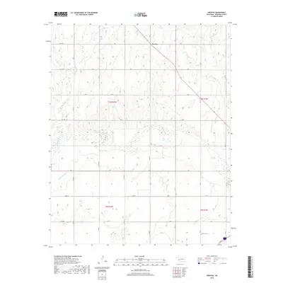
1989 Prentiss
Beckham County, OK
2010 Baker Lake
Beckham County, OK
2010 Bull Creek
Beckham County, OK
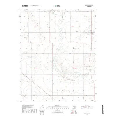
2010 Carter East
Beckham County, OK
2010 Carter West
Beckham County, OK
2010 Delhi
Beckham County, OK
2010 Doxey
Beckham County, OK
2010 Hocker
Beckham County, OK
2010 Mayfield
Beckham County, OK
2010 Minnow Creek
Beckham County, OK
2010 Prentiss
Beckham County, OK
2012 Baker Lake
Beckham County, OK
2012 Bull Creek
Beckham County, OK
2012 Carter East
Beckham County, OK
2012 Carter West
Beckham County, OK
2012 Delhi
Beckham County, OK
2012 Doxey
Beckham County, OK
2012 Hocker
Beckham County, OK
2012 Mayfield
Beckham County, OK
2012 Minnow Creek
Beckham County, OK
2012 Prentiss
Beckham County, OK
2016 Baker Lake
Beckham County, OK
2016 Bull Creek
Beckham County, OK
2016 Carter East
Beckham County, OK
2016 Carter West
Beckham County, OK
2016 Delhi
Beckham County, OK
2016 Doxey
Beckham County, OK
2016 Hocker
Beckham County, OK
2016 Mayfield
Beckham County, OK
2016 Minnow Creek
Beckham County, OK
2016 Prentiss
Beckham County, OK
2018 Baker Lake
Beckham County, OK
2018 Bull Creek
Beckham County, OK
2018 Carter East
Beckham County, OK
2018 Carter West
Beckham County, OK
2018 Delhi
Beckham County, OK
2018 Doxey
Beckham County, OK
2018 Hocker
Beckham County, OK
2018 Mayfield
Beckham County, OK
2018 Minnow Creek
Beckham County, OK
2018 Prentiss
Beckham County, OK
2022 Baker Lake
Beckham County, OK
2022 Bull Creek
Beckham County, OK
2022 Carter East
Beckham County, OK
2022 Carter West
Beckham County, OK
2022 Delhi
Beckham County, OK
2022 Doxey
Beckham County, OK
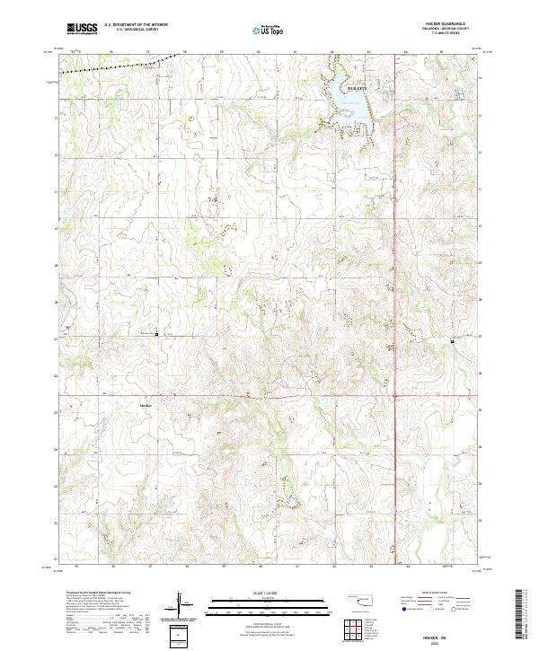
2022 Hocker
Beckham County, OK
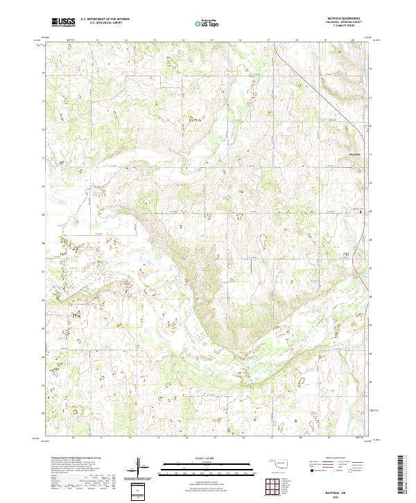
2022 Mayfield
Beckham County, OK
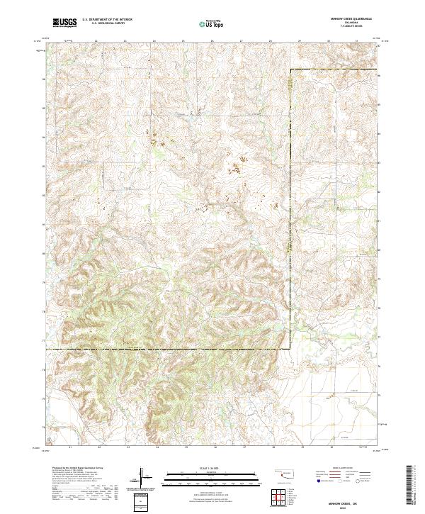
2022 Minnow Creek
Beckham County, OK
2022 Prentiss
Beckham County, OK