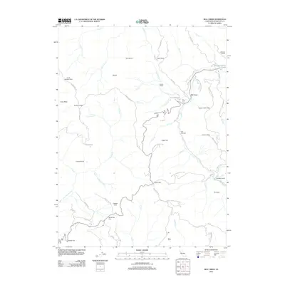
2012 Map of Bull Creek
USGS Topo · Published 2012About this map
Humboldt Redwoods State Park dominates this terrain, preserving a complex network of ridges and watercourses within the California coastal range. The namesake Bull Creek flows through the northern half of the region, passing through a tight geographic point known as The Narrows before meeting with various tributaries like Burns Creek and Cuneo Creek. Local history is visible through family-named landmarks and small settlements such as Rainbow Ranch, Mann Ranch, and the Bull Creek Cem. Steep topographical features such as Rainbow Ridge, Catheys Peak, and Gregs Peak dictate the road network, which includes the winding Bull Creek Road and the high-elevation Rainbow Ridge Road. The southern portion of the map transitions into the headwaters of the Upper North Fork Mattole River, illustrating the divide between different regional watersheds.
Find a feature on this map
63 named features on this map. Tap any name to fly to it.
Don’t see what you’re looking for? This feature index may not catch every label — zoom into the map to look around manually.
Map Details
Editions of this 2012 Bull Creek Map
This is the sole edition of this map. No revisions or reprints were ever made.
Other maps of this area

1919 · Glynn
USGS Topo · 1:62,500

1920 · Pt. Delagda
USGS Topo · 1:62,500

1921 · Dyerville
USGS Topo · 1:62,500

1921 · Briceland
USGS Topo · 1:62,500

1949 · Eureka
USGS Topo · 1:250,000

1949 · Point Delgada
USGS Topo · 1:62,500

1949 · Garberville
USGS Topo · 1:62,500

1949 · Weott
USGS Topo · 1:62,500

1950 · Scotia
USGS Topo · 1:62,500

1951 · Scotia
USGS Topo · 1:62,500