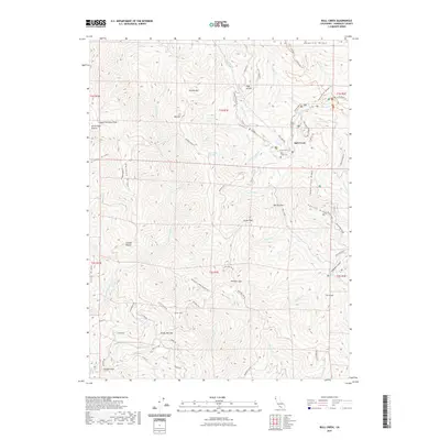
2021 Map of Bull Creek
USGS Topo · Published 2021About this map
Humboldt Redwoods State Park dominates this northern California landscape, preserving a network of deep drainages and ridges defined by the namesake Bull Creek. The map documents a complex system of logging roads and trails, including the Old Pacific Lumber Logging Rd and HRC Logging Rd, which speak to the industrial history of the surrounding forests. Local genealogy is anchored by the Bull Creek Cem and small settlements like Bull Creek and Powder Flat.
Find a feature on this map
112 named features on this map. Tap any name to fly to it.
Don’t see what you’re looking for? This feature index may not catch every label — zoom into the map to look around manually.
Map Details
Editions of this 2021 Bull Creek Map
This is the sole edition of this map. No revisions or reprints were ever made.
Other maps of this area

1919 · Glynn
USGS Topo · 1:62,500

1920 · Pt. Delagda
USGS Topo · 1:62,500

1921 · Dyerville
USGS Topo · 1:62,500

1921 · Briceland
USGS Topo · 1:62,500

1949 · Eureka
USGS Topo · 1:250,000

1949 · Point Delgada
USGS Topo · 1:62,500

1949 · Garberville
USGS Topo · 1:62,500

1949 · Weott
USGS Topo · 1:62,500

1950 · Scotia
USGS Topo · 1:62,500

1951 · Scotia
USGS Topo · 1:62,500