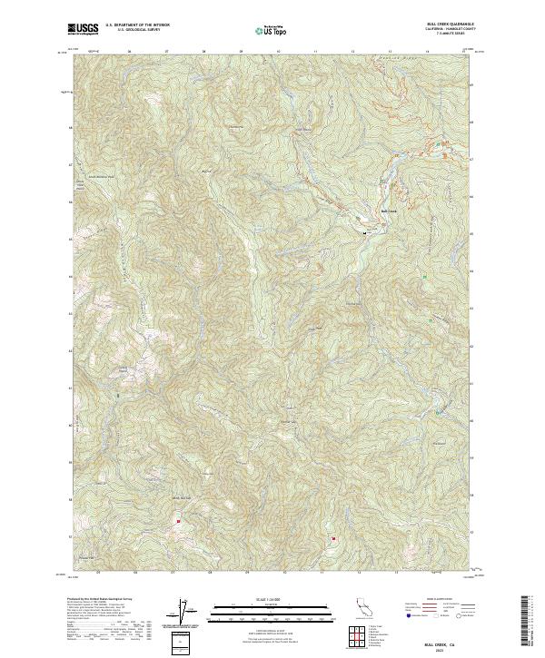
2023 Map of Bull Creek
USGS Topo · Published 2023About this map
Humboldt Redwoods State Park dominates this modern landscape, defined by the deep drainage basins of the Bull Creek and Upper North Fork Mattole River systems. Settlement is concentrated around the small community of Bull Creek, where the Bull Creek Cem serves as a localized landmark for genealogists. The terrain transitions from riparian corridors to high ridgelines such as Rainbow Ridge and Peavine Ridge, interspersed with unique clearings like Curless Prairie and Devils Hole Prairie. Transportation in this part of California is shaped by legacy routes, including the Old Pacific Lumber Logging RD and various trails like the Baxter Trl and Homestead Trl. From the high elevations of South Rainbow Peak to the southern flats of Powder Flat, the map details a region where logging history and environmental preservation intersect.
Find a feature on this map
71 named features on this map. Tap any name to fly to it.
Don’t see what you’re looking for? This feature index may not catch every label — zoom into the map to look around manually.
Map Details
Editions of this 2023 Bull Creek Map
This is the sole edition of this map. No revisions or reprints were ever made.
Other maps of this area

1919 · Glynn
USGS Topo · 1:62,500

1920 · Pt. Delagda
USGS Topo · 1:62,500

1921 · Dyerville
USGS Topo · 1:62,500

1921 · Briceland
USGS Topo · 1:62,500

1949 · Eureka
USGS Topo · 1:250,000

1949 · Point Delgada
USGS Topo · 1:62,500

1949 · Garberville
USGS Topo · 1:62,500

1949 · Weott
USGS Topo · 1:62,500

1950 · Scotia
USGS Topo · 1:62,500

1951 · Scotia
USGS Topo · 1:62,500