
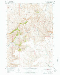
1952 Map of Bull Mountain
USGS Topo · Published 1954About this map
The high desert rangelands of Hot Springs County are defined by isolated homesteads and high peaks in this mid-century survey. Ranching life is evident through family-named sites such as the Justin McCarthy Ranch, David McCarthy Ranch, and Gardner Ranch. These settlements are linked by the Bridger Road, a primitive route that traverses the rugged terrain between the massive heights of Lysite Mountain and Klondike Peak. The hydrologic pattern of the area is captured through seasonal and intermittent drainages like No Water Creek and Bridger Creek, which carve through the Minnick Basin north of Bull Mountain. This document reflects a period when the Department of the Interior was actively mapping the Missouri River Basin, detailing a sparsely populated landscape of high-altitude sheep or cattle operations and fundamental travel corridors.
Find a feature on this map
21 named features on this map. Tap any name to fly to it.
Don’t see what you’re looking for? This feature index may not catch every label — zoom into the map to look around manually.
Map Details
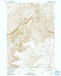
Editions of this 1952 Bull Mountain Map
3 editions found
Other maps of this area

1952 · Cottonwood Pass
USGS Topo · 1:24,000

1952 · Rathbun Ranch
USGS Topo · 1:24,000

1952 · Arapahoe Butte
USGS Topo · 1:24,000

1952 · De Pass
USGS Topo · 1:24,000

1952 · Battle Mountain
USGS Topo · 1:24,000

1955 · Arminto
USGS Topo · 1:250,000

1957 · Rathbun Ranch
USGS Topo · 1:24,000

1958 · Arminto
USGS Topo · 1:250,000

1960 · Packsaddle Creek
USGS Topo · 1:24,000

1962 · Arminto
USGS Topo · 1:250,000