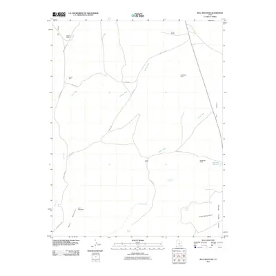
2011 Map of Bull Mountain
USGS Topo · Published 2011About this map
Bull Mountain and the northern reaches of the Henry Mountains dominate this high-desert landscape in Garfield County. The map documents a sparsely populated region defined by remote outposts like Fairview Ranch and Granite Ranch, which serve as rare human markers in a terrain carved by Poison Spring Canyon and the Burr Desert. Water is the primary driver of names and movement here, with specific locations such as Goatwater Spring, Twin Seeps, and the East Gate Reservoir providing vital points of reference. The road network, including Sawmill Basin Rd and the Energy Fuel Rd, reflects the industrial and ranching history of the area, punctuated by the isolated Energy Airport in the northern sector. This survey captures a moment when traditional land use met modern energy transit in a landscape defined by significant elevation changes, ranging from Adams Butte to the Poison Spring Benches.
Find a feature on this map
26 named features on this map. Tap any name to fly to it.
Don’t see what you’re looking for? This feature index may not catch every label — zoom into the map to look around manually.
Map Details
Editions of this 2011 Bull Mountain Map
This is the sole edition of this map. No revisions or reprints were ever made.
Other maps of this area

1885 · San Rafael
USGS Topo · 1:250,000

1952 · Mount Ellen 4 SW
USGS Topo · 1:24,000

1952 · Mt. Ellen 4 NW
USGS Topo · 1:24,000

1952 · Bull Mountain
USGS Topo · 1:62,500

1954 · Mt. Ellen 2 SE
USGS Topo · 1:24,000

1954 · Mt. Ellen 1 SW
USGS Topo · 1:24,000

1954 · Factory Butte
USGS Topo · 1:62,500

1956 · Salina
USGS Topo · 1:250,000

1960 · Salina
USGS Topo · 1:250,000

1962 · Salina
USGS Topo · 1:250,000