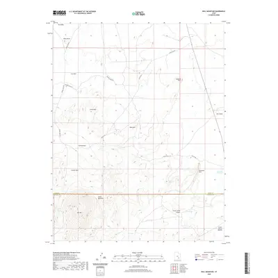
2020 Map of Bull Mountain
USGS Topo · Published 2020About this map
The Henry Mountains dominate the southern portion of this landscape, rising sharply above the complex drainage systems of Garfield Co and Wayne Co. This 2020 topographic record details a network of ranching roads and remote water sources essential to the high desert environment. Notable landmarks such as Bull Mtn and Adams Butte anchor the topography, while a series of washes—including Collie Wash, Halfway Wash, and Granite Wash—carve through the terrain toward the Burr Desert. These intermittent waterways, along with Goatwater Spring and the East Gate Reservoir, illustrate the critical importance of water management in this arid region. High-clearance routes like Sawmill Basin Rd and Fairview Ranch Rd connect these isolated features, providing the primary access through the broken country of Poison Spring Canyon and the Poison Spring Benches.
Find a feature on this map
26 named features on this map. Tap any name to fly to it.
Don’t see what you’re looking for? This feature index may not catch every label — zoom into the map to look around manually.
Map Details
Editions of this 2020 Bull Mountain Map
This is the sole edition of this map. No revisions or reprints were ever made.
Other maps of this area

1885 · San Rafael
USGS Topo · 1:250,000

1952 · Mount Ellen 4 SW
USGS Topo · 1:24,000

1952 · Mt. Ellen 4 NW
USGS Topo · 1:24,000

1952 · Bull Mountain
USGS Topo · 1:62,500

1954 · Mt. Ellen 2 SE
USGS Topo · 1:24,000

1954 · Mt. Ellen 1 SW
USGS Topo · 1:24,000

1954 · Factory Butte
USGS Topo · 1:62,500

1956 · Salina
USGS Topo · 1:250,000

1960 · Salina
USGS Topo · 1:250,000

1962 · Salina
USGS Topo · 1:250,000