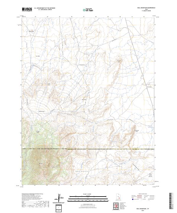
2023 Map of Bull Mountain
USGS Topo · Published 2023About this map
Henry Mountains dominate the southern landscape of this 2023 survey, centered on the prominent peak of Bull Mtn. The terrain is defined by a complex network of arid washes and high-desert features, ranging from the Burr Desert in the east to the wide Dry Valley in the northwest. Water sources are scarce but critical markers in this environment, including Goatwater Spring, Poison Spring, and the East Gate Reservoir.
Find a feature on this map
26 named features on this map. Tap any name to fly to it.
Don’t see what you’re looking for? This feature index may not catch every label — zoom into the map to look around manually.
Map Details
Editions of this 2023 Bull Mountain Map
This is the sole edition of this map. No revisions or reprints were ever made.
Other maps of this area

1885 · San Rafael
USGS Topo · 1:250,000

1952 · Mount Ellen 4 SW
USGS Topo · 1:24,000

1952 · Mt. Ellen 4 NW
USGS Topo · 1:24,000

1952 · Bull Mountain
USGS Topo · 1:62,500

1954 · Mt. Ellen 2 SE
USGS Topo · 1:24,000

1954 · Mt. Ellen 1 SW
USGS Topo · 1:24,000

1954 · Factory Butte
USGS Topo · 1:62,500

1956 · Salina
USGS Topo · 1:250,000

1960 · Salina
USGS Topo · 1:250,000

1962 · Salina
USGS Topo · 1:250,000