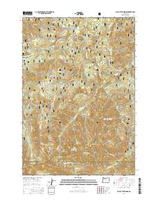
2014 Map of Bull of the Woods
USGS Topo · Published 2014About this map
Mount Hood National Forest defines the rugged geography of this 2014 survey, where the border of Clackamas and Marion counties traverses a high mountain divide. The area is dominated by significant elevations including Bull of the Woods, North Dickey Peak, and the Granite Peaks. Numerous high-altitude water bodies like Big Slide Lake, Welcome Lakes, and Lily Pad Lake dot the drainages of the Collawash River and Hot Springs Fork systems. The map details a complex network of forest development roads, such as Forest Road 6320 and Bagby Road, which provide access to this wilderness landscape. This data represents the state of forest management and natural resource mapping in the early 21st century, illustrating the intersection of modern cartography with the traditional topography of the Cascade Range.
Find a feature on this map
89 named features on this map. Tap any name to fly to it.
Don’t see what you’re looking for? This feature index may not catch every label — zoom into the map to look around manually.
Map Details
Editions of this 2014 Bull of the Woods Map
This is the sole edition of this map. No revisions or reprints were ever made.
Other maps of this area

1916 · Estacada
USGS Topo · 1:125,000

1924 · Mount Hood
USGS Topo · 1:125,000

1927 · Mount Hood
USGS Topo · 1:125,000

1927 · Mt. Jefferson
USGS Topo · 1:125,000

1929 · Mill City
USGS Topo · 1:125,000

1930 · Mt. Jefferson
USGS Topo · 1:125,000

1948 · Vancouver
USGS Topo · 1:250,000

1950 · Vancouver
USGS Topo · 1:250,000

1950 · Vancouver
USGS Topo · 1:250,000

1953 · Salem
USGS Topo · 1:250,000