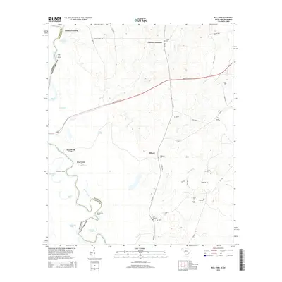
2014 Map of Bull Pond
USGS Topo · Published 2014About this map
The Savannah River defines the western edge of this landscape, carving a complex boundary between South Carolina and Georgia marked by points like Ring Jaw Point and Green Log Point. Away from the river's edge, the terrain transitions into a mosaic of wetlands and small agricultural communities. The settlement of Milbury and the intersection at Concord Crossroads serve as focal points for a rural road network that includes Burton's Ferry Hwy and River Rd.
Find a feature on this map
52 named features on this map. Tap any name to fly to it.
Don’t see what you’re looking for? This feature index may not catch every label — zoom into the map to look around manually.
Map Details
Editions of this 2014 Bull Pond Map
This is the sole edition of this map. No revisions or reprints were ever made.
Other maps of this area

1919 · Allendale
USGS Topo · 1:62,500

1920 · Ellenton
USGS Topo · 1:48,000

1920 · Hilltonia
USGS Topo · 1:62,500

1920 · Peeples
USGS Topo · 1:62,500

1921 · Ellenton
USGS Topo · 1:62,500

1943 · Allendale
USGS Topo · 1:62,500

1943 · Hilltonia
USGS Topo · 1:62,500

1943 · Peeples
USGS Topo · 1:62,500

1943 · Augusta East
USGS Topo · 1:125,000

1943 · Millen
USGS Topo · 1:125,000