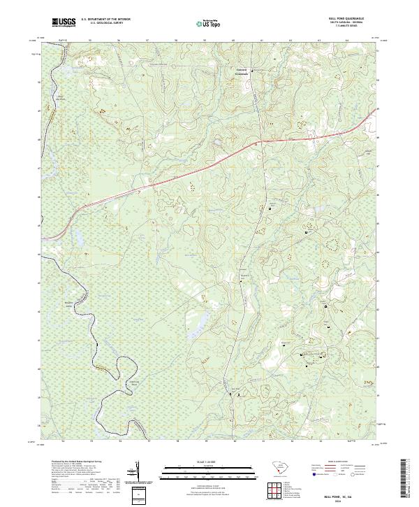
2024 Map of Bull Pond
USGS Topo · Published 2024About this map
The Savannah River forms a winding natural boundary between South Carolina and Georgia, anchoring a landscape defined by oxbow lakes and intricate marshy channels. Lowland features such as Dead River Lake, Brierpatch Lake, and Ferguson Lake illustrate the shifting path of the river over time, while points like Jaw Point and Possum Eddy mark the river's serpentine bends. The terrain away from the river is a network of small tributaries including Brier Creek and Watchaw Creek, which cut through the wooded lowlands known locally as The Gaul.
Find a feature on this map
57 named features on this map. Tap any name to fly to it.
Don’t see what you’re looking for? This feature index may not catch every label — zoom into the map to look around manually.
Map Details
Editions of this 2024 Bull Pond Map
This is the sole edition of this map. No revisions or reprints were ever made.
Other maps of this area

1919 · Allendale
USGS Topo · 1:62,500

1920 · Ellenton
USGS Topo · 1:48,000

1920 · Hilltonia
USGS Topo · 1:62,500

1920 · Peeples
USGS Topo · 1:62,500

1921 · Ellenton
USGS Topo · 1:62,500

1943 · Allendale
USGS Topo · 1:62,500

1943 · Hilltonia
USGS Topo · 1:62,500

1943 · Peeples
USGS Topo · 1:62,500

1943 · Augusta East
USGS Topo · 1:125,000

1943 · Millen
USGS Topo · 1:125,000