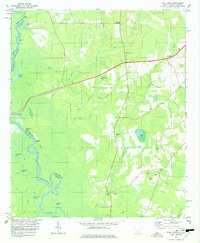
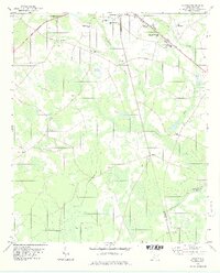
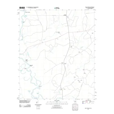
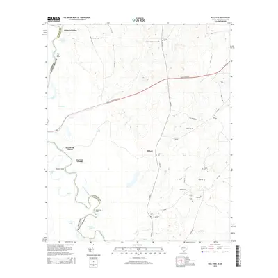
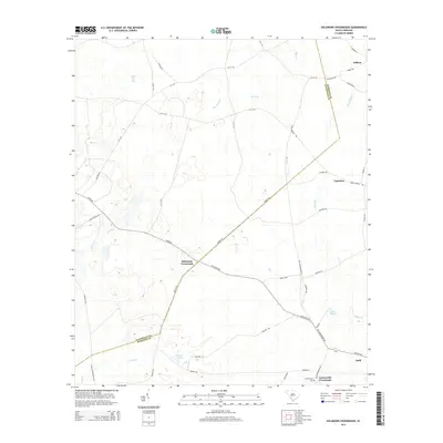
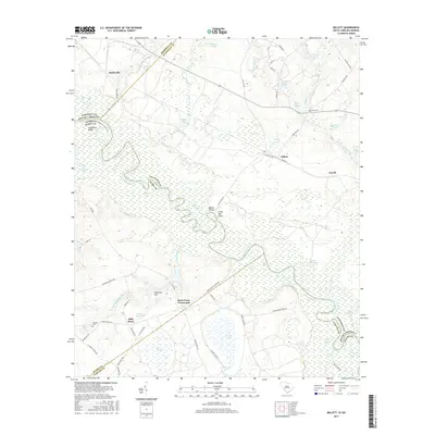
1978 Map of Bull Pond
USGS Topo · Published 1978About this map
The Savannah River defines the western edge of this 1970s landscape, winding through a complex system of backwaters and named landings that reflect a long history of river-dependent activity. Names like Johnsons Landing, Fennell Hill Landing, and Blacks Landing mark the shoreline, while the interior is characterized by dense marshlands and numerous oxbow lakes such as Dead River Lake and Ferguson Lake. The rural character of Allendale County is evident in the cluster of small community landmarks and family-named cemeteries that dot the higher ground east of the river bottomlands.
Find a feature on this map
48 named features on this map. Tap any name to fly to it.
Don’t see what you’re looking for? This feature index may not catch every label — zoom into the map to look around manually.
Map Details
Editions of this 1978 Bull Pond Map
This is the sole edition of this map. No revisions or reprints were ever made.
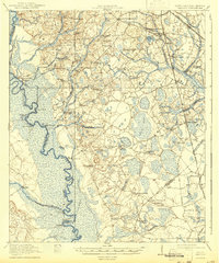
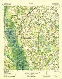
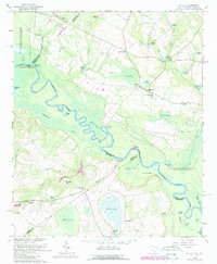
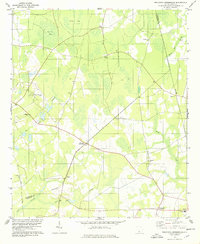
Historical Maps of Fennell Hill Landing Through Time
32 maps found
1920 Peeples
Allendale County, SC
1943 Peeples
Allendale County, SC
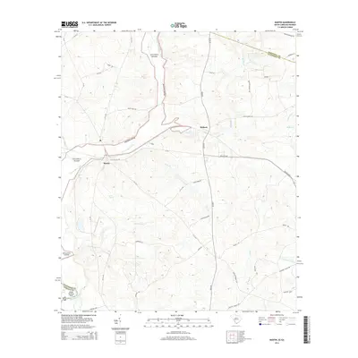
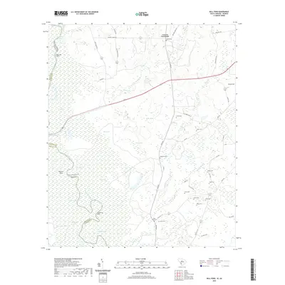
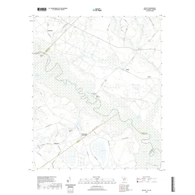
1964 Millett
Allendale County, SC
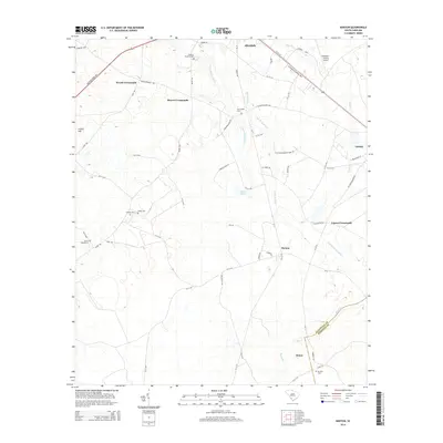
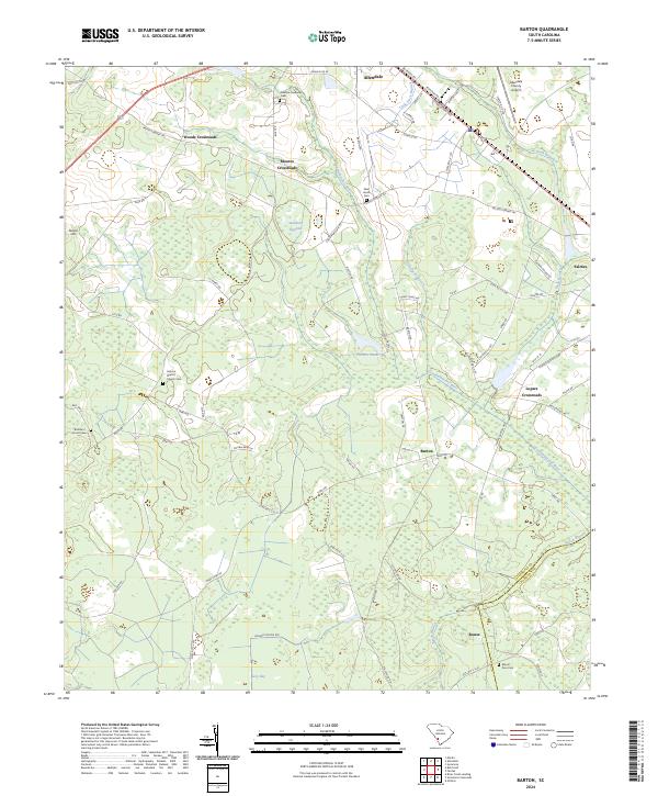
1978 Barton
Allendale County, SC
1978 Bull Pond
Allendale County, SC
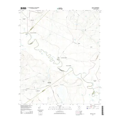
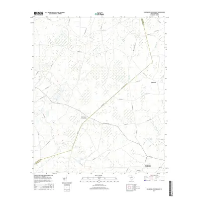
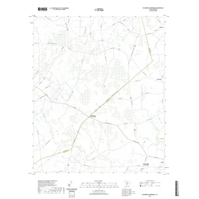
1978 Solomons Crossroads
Allendale County, SC
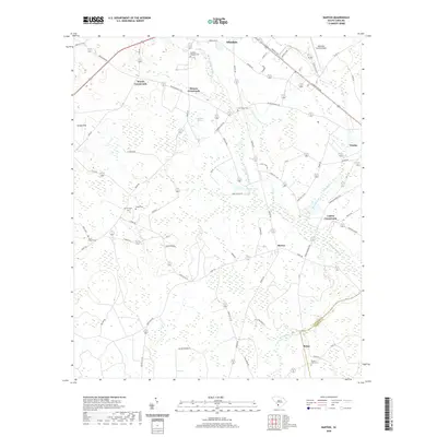
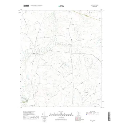
1979 Martin
Allendale County, SC
2011 Barton
Allendale County, SC
2011 Bull Pond
Allendale County, SC
2011 Martin
Allendale County, SC
2011 Millett
Allendale County, SC
2011 Solomons Crossroads
Allendale County, SC
2014 Barton
Allendale County, SC
2014 Bull Pond
Allendale County, SC
2014 Martin
Allendale County, SC
2014 Millett
Allendale County, SC
2014 Solomons Crossroads
Allendale County, SC
2017 Barton
Allendale County, SC
2017 Bull Pond
Allendale County, SC
2017 Martin
Allendale County, SC
2017 Millett
Allendale County, SC
2017 Solomons Crossroads
Allendale County, SC
2020 Barton
Allendale County, SC
2020 Bull Pond
Allendale County, SC
2020 Martin
Allendale County, SC
2020 Millett
Allendale County, SC
2020 Solomons Crossroads
Allendale County, SC
2024 Barton
Allendale County, SC
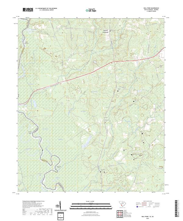
2024 Bull Pond
Allendale County, SC
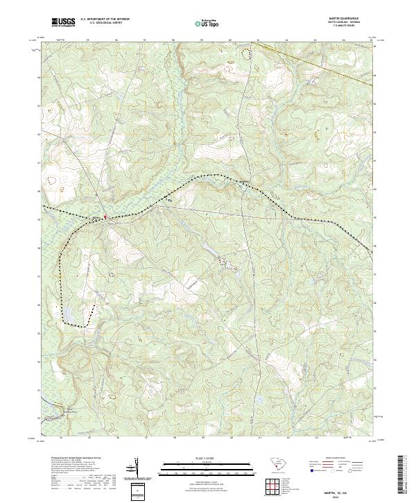
2024 Martin
Allendale County, SC
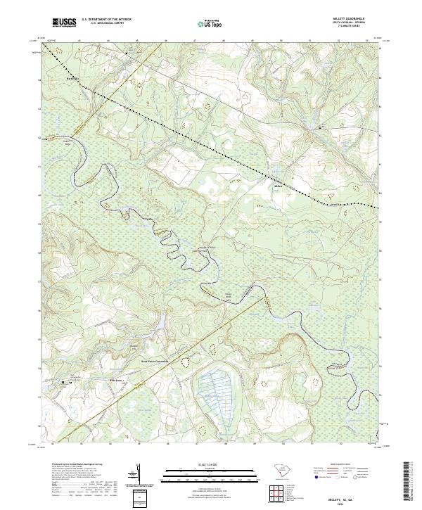
2024 Millett
Allendale County, SC
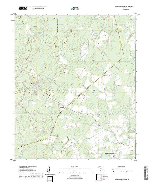
2024 Solomons Crossroads
Allendale County, SC