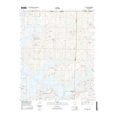
2014 Map of Bull Shoals
USGS Topo · Published 2014About this map
Bull Shoals Lake dominates the center of this landscape, its complex shoreline winding through the Ozark border between Arkansas and Missouri. The settlement of Bull Shoals sits at the southern edge of the water, flanked by Lakeview and Midway as the terrain transitions into the ridges of Marion and Baxter Counties. For those researching local lineages, several burial grounds are preserved across the ridges and hollows, including Price Place Cem, Promised Land Cem, and Newton Flat Cem.
Find a feature on this map
118 named features on this map. Tap any name to fly to it.
Don’t see what you’re looking for? This feature index may not catch every label — zoom into the map to look around manually.
Map Details
Editions of this 2014 Bull Shoals Map
This is the sole edition of this map. No revisions or reprints were ever made.
Other maps of this area

1890 · Mountain Home
USGS Topo · 1:125,000

1891 · Mountain Home
USGS Topo · 1:125,000

1893 · Yellville
USGS Topo · 1:125,000

1894 · Mountain Home
USGS Topo · 1:125,000

1903 · Yellville
USGS Topo · 1:125,000

1905 · Yellville
USGS Topo · 1:125,000

1929 · Yellville
USGS Topo · 1:125,000

1934 · Gainesville
USGS Topo · 1:48,000

1936 · Thornfield
USGS Topo · 1:48,000

1940 · Gainesville
USGS Topo · 1:62,500