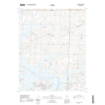
2020 Map of Bull Shoals
USGS Topo · Published 2020About this map
Bull Shoals Lake dominates this north-central Arkansas landscape, its intricate, branching fingers reaching into the Ozark Plateau near the Missouri border. The map captures a topography defined by high ridges like Promise Land Ridge and Long Mtn, which separate the various creek valleys and lake coves. Small communities such as Oakland, Lakeview, and the city of Bull Shoals are situated along the elevated terrain, linked by a network of county roads including Oakland Rd and Sister Creek Rd.
Find a feature on this map
141 named features on this map. Tap any name to fly to it.
Don’t see what you’re looking for? This feature index may not catch every label — zoom into the map to look around manually.
Map Details
Editions of this 2020 Bull Shoals Map
This is the sole edition of this map. No revisions or reprints were ever made.
Other maps of this area

1890 · Mountain Home
USGS Topo · 1:125,000

1891 · Mountain Home
USGS Topo · 1:125,000

1893 · Yellville
USGS Topo · 1:125,000

1894 · Mountain Home
USGS Topo · 1:125,000

1903 · Yellville
USGS Topo · 1:125,000

1905 · Yellville
USGS Topo · 1:125,000

1929 · Yellville
USGS Topo · 1:125,000

1934 · Gainesville
USGS Topo · 1:48,000

1936 · Thornfield
USGS Topo · 1:48,000

1940 · Gainesville
USGS Topo · 1:62,500