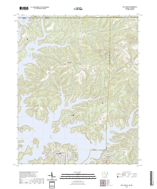
2024 Map of Bull Shoals
USGS Topo · Published 2024About this map
Bull Shoals Lake dominates this landscape, its sprawling shoreline defining the border between Arkansas and Missouri. The map centers on the town of Bull Shoals, situated on the southern banks alongside Lakeview, while the smaller settlement of Oakland sits further north near the state line. This modern survey illustrates the intricate geography of the Ozark highlands, where narrow ridges like Promise Land Ridge and Windgate Ridge separate deep hollows such as Oak Hollow and Bull Hollow. Genealogists will find several burial grounds preserved in the record, including Price Place Cem, Noe Cem, and the Newton-Flat Cem near the lake’s edge. The network of county roads, including Oakland Rd and Co Rd 156, connects these communities across a terrain shaped by the winding paths of Wolf Creek and Sister Creek.
Find a feature on this map
90 named features on this map. Tap any name to fly to it.
Don’t see what you’re looking for? This feature index may not catch every label — zoom into the map to look around manually.
Map Details
Editions of this 2024 Bull Shoals Map
This is the sole edition of this map. No revisions or reprints were ever made.
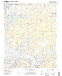
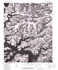
Historical Maps of Oakland Through Time
3 maps found