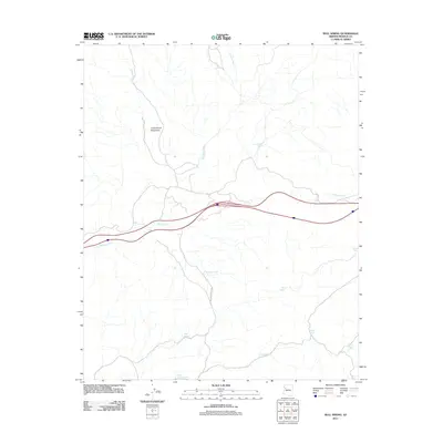
2011 Map of Bull Spring
USGS Topo · Published 2011About this map
The Cottonwood Mountains dominate the landscape of this high-desert portion of Mohave County, where water sources are the primary landmarks for navigation and settlement. This 2011 survey details a network of vital watering points, including Bull Spring, Knight Creek Spring, and Cottonwood Spring, which have historically supported ranching operations in this arid region. The presence of numerous man-made catchments like White Rock Tank, Three Sisters Tank, and Rucker Tank illustrates the ongoing management of the land for livestock. Transportation through this terrain is primarily defined by the winding route of Willows Ranch Rd, which follows the natural drainage patterns of Willow Creek and Tuckayou Wash. The map captures a moment of modern ranching life, showing the balance between natural springs and the infrastructure required to sustain life in the Arizona backcountry.
Find a feature on this map
15 named features on this map. Tap any name to fly to it.
Don’t see what you’re looking for? This feature index may not catch every label — zoom into the map to look around manually.
Map Details
Editions of this 2011 Bull Spring Map
This is the sole edition of this map. No revisions or reprints were ever made.
Other maps of this area

1886 · Diamond Creek
USGS Topo · 1:250,000

1892 · Diamond Creek
USGS Topo · 1:250,000

1948 · Williams
USGS Topo · 1:250,000

1954 · Williams
USGS Topo · 1:250,000

1956 · Williams
USGS Topo · 1:250,000

1960 · Williams
USGS Topo · 1:250,000

1961 · Williams
USGS Topo · 1:250,000
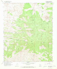
1968 · Austin Peak
USGS Topo · 1:24,000
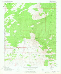
1968 · Tin Mountain
USGS Topo · 1:24,000
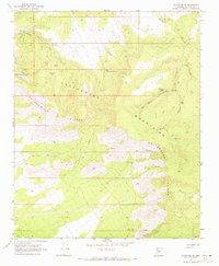
1968 · Valentine SE
USGS Topo · 1:24,000