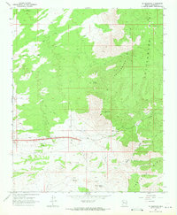
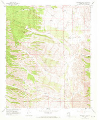
1968 Map of Tin Mountain
USGS Topo · Published 1971About this map
Tin Mountain rises as a prominent landmark in this 1968 study of the Mohave County landscape, where the Cottonwood Cliffs and the northern reaches of the Aquarius Mts converge. The area is characterized by remote ranching outposts and infrastructure, evidenced by the settlement at Knight and several isolated Corrals. Water sources are scarce but critical to the terrain, including Faculty Springs, Mesquite Thicket Spring, and the seasonal drainage of Willow Creek.
Find a feature on this map
18 named features on this map. Tap any name to fly to it.
Don’t see what you’re looking for? This feature index may not catch every label — zoom into the map to look around manually.
Map Details
Editions of this 1968 Tin Mountain Map
2 editions found
Other maps of this area

1886 · Diamond Creek
USGS Topo · 1:250,000

1892 · Diamond Creek
USGS Topo · 1:250,000

1948 · Williams
USGS Topo · 1:250,000

1954 · Williams
USGS Topo · 1:250,000

1956 · Williams
USGS Topo · 1:250,000

1960 · Williams
USGS Topo · 1:250,000

1961 · Williams
USGS Topo · 1:250,000
1968 · Austin Peak
USGS Topo · 1:24,000
1968 · Hackberry
USGS Topo · 1:24,000
1968 · Bottleneck Wash
USGS Topo · 1:24,000