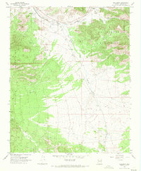
1968 Map of Hackberry
USGS Topo · Published 1971About this map
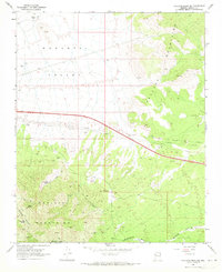
The Atchison Topeka and Santa Fe railroad corridor defines this high-desert landscape in the late 1960s, connecting the small settlements of Hackberry, Truxton, and the Valentine (Siding). The terrain is dramatically framed by the Peacock Mountains to the west and the Cottonwood Mountains to the east, with the Cottonwood Cliffs providing a sharp topographical boundary. Drainage patterns like Hackberry Wash and Cottonwood Creek cut through the arid valley floor, tracing the natural routes that guided early infrastructure. This survey captures a specific moment in northwestern Arizona before modern highway developments further altered the character of these rail-dependent communities, and includes numerous prospects scattered near the mountains, hinting at the region's mineral history.
Find a feature on this map
13 named features on this map. Tap any name to fly to it.
Don’t see what you’re looking for? This feature index may not catch every label — zoom into the map to look around manually.
Map Details
Editions of this 1968 Hackberry Map
3 editions found
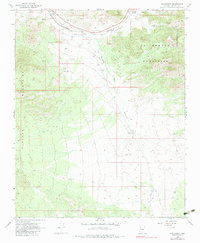
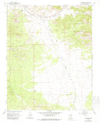
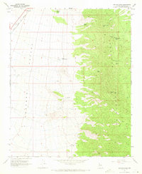
Other maps of this area

1886 · Diamond Creek
USGS Topo · 1:250,000

1892 · Diamond Creek
USGS Topo · 1:250,000

1948 · Williams
USGS Topo · 1:250,000

1954 · Williams
USGS Topo · 1:250,000

1956 · Williams
USGS Topo · 1:250,000

1960 · Williams
USGS Topo · 1:250,000

1961 · Williams
USGS Topo · 1:250,000
1968 · Peacock Peak
USGS Topo · 1:24,000
1968 · Hualapai Peak NE
USGS Topo · 1:24,000
1968 · Antares
USGS Topo · 1:24,000