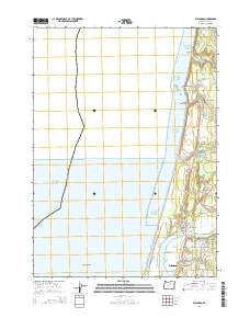
2014 Map of Bullards
USGS Topo · Published 2014About this map
Bandon anchors the southern edge of this coastal survey where the Coquille River meets the Pacific Ocean. The geography is defined by a series of coastal lakes and creeks, including Chrome Lake, Round Lake, and Fahys Lake, which sit behind the shoreline bluffs. To the north, the settlement of Bullards marks a significant crossing point at the Bullards Bridge, near the historic Bullards Cem.
Find a feature on this map
37 named features on this map. Tap any name to fly to it.
Don’t see what you’re looking for? This feature index may not catch every label — zoom into the map to look around manually.
Map Details
Editions of this 2014 Bullards Map
This is the sole edition of this map. No revisions or reprints were ever made.
Other maps of this area

1896 · Coos Bay
USGS Topo · 1:125,000

1898 · Coos Bay
USGS Topo · 1:125,000

1900 · Coos Bay
USGS Topo · 1:125,000

1942 · Empire
USGS Topo · 1:62,500

1943 · Bandon
USGS Topo · 1:62,500

1944 · Empire
USGS Topo · 1:62,500

1944 · Bandon
USGS Topo · 1:62,500

1954 · Coos Bay
USGS Topo · 1:250,000

1958 · Coos Bay
USGS Topo · 1:250,000

1962 · Coos Bay
USGS Topo · 1:250,000