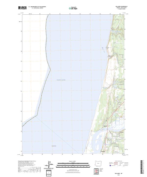
2024 Map of Bullards
USGS Topo · Published 2024About this map
The Coquille River estuary dominates this coastal landscape, meeting the Pacific near the established community of Bandon. To the north, the small settlements of Bullards and Prosper sit along the riverbanks, connected by a network of rural roads such as Seven Devils Rd and Prosper Junction Rd. The map highlights a complex intersection of land and water, featuring the Bandon Marsh National Wildlife Refuge and the Oregon Islands Wilderness, which protects offshore features like Coquille Rock.
Find a feature on this map
50 named features on this map. Tap any name to fly to it.
Don’t see what you’re looking for? This feature index may not catch every label — zoom into the map to look around manually.
Map Details
Editions of this 2024 Bullards Map
This is the sole edition of this map. No revisions or reprints were ever made.
Other maps of this area

1896 · Coos Bay
USGS Topo · 1:125,000

1898 · Coos Bay
USGS Topo · 1:125,000

1900 · Coos Bay
USGS Topo · 1:125,000

1942 · Empire
USGS Topo · 1:62,500

1943 · Bandon
USGS Topo · 1:62,500

1944 · Empire
USGS Topo · 1:62,500

1944 · Bandon
USGS Topo · 1:62,500

1954 · Coos Bay
USGS Topo · 1:250,000

1958 · Coos Bay
USGS Topo · 1:250,000

1962 · Coos Bay
USGS Topo · 1:250,000