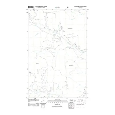
2011 Map of Bulldog Mountain
USGS Topo · Published 2011About this map
Bulldog Mountain and Dry Mountain define this mountainous landscape within the Colville National Forest region, as surveyed by the U.S. Geological Survey in 2011. The terrain is deeply incised by a complex drainage system, most notably the North Fork Boulder Creek and South Fork Boulder Creek. These watercourses are fed by numerous smaller tributaries like Goat Creek, Friday Creek, and M J B Creek, illustrating the watershed's importance to the local ecosystem.
Find a feature on this map
32 named features on this map. Tap any name to fly to it.
Don’t see what you’re looking for? This feature index may not catch every label — zoom into the map to look around manually.
Map Details
Editions of this 2011 Bulldog Mountain Map
This is the sole edition of this map. No revisions or reprints were ever made.
Other maps of this area

1936 · Marcus
USGS Topo · 1:96,000

1942 · Marcus
USGS Topo · 1:125,000

1948 · Sherman Peak
USGS Topo · 1:62,500

1948 · Kettle Falls
USGS Topo · 1:62,500

1948 · Orient
USGS Topo · 1:62,500

1948 · Togo Mountain
USGS Topo · 1:62,500

1951 · Togo Mountain
USGS Topo · 1:62,500

1951 · Sherman Peak
USGS Topo · 1:62,500

1951 · Orient
USGS Topo · 1:62,500

1951 · Kettle Falls
USGS Topo · 1:62,500