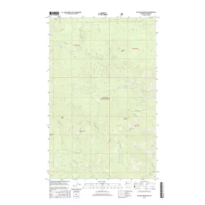
2017 Map of Bulldog Mountain
USGS Topo · Published 2017About this map
Colville National Forest dominates this section of the Kettle River Range in Ferry County, where high peaks and deeply incised creek drainages define the landscape. The survey captures a network of forestry roads such as Goat Creek Rd and Bulldog Cabin Rd that wind through the complex topography of Bulldog Mountain and Taylor Ridge. Significant landmarks for navigation and land management include Dry Mtn in the northwest and Rabbit Mtn to the southwest, while the drainages of N-Fork Boulder Cr and S-Fork Boulder Cr illustrate the watershed patterns of the high country. Small, localized features like Tamarack spring on the slopes of N Boulder Ridge provide critical points of reference for those familiar with the high-elevation terrain of northeastern Washington.
Find a feature on this map
36 named features on this map. Tap any name to fly to it.
Don’t see what you’re looking for? This feature index may not catch every label — zoom into the map to look around manually.
Map Details
Editions of this 2017 Bulldog Mountain Map
This is the sole edition of this map. No revisions or reprints were ever made.
Other maps of this area

1936 · Marcus
USGS Topo · 1:96,000

1942 · Marcus
USGS Topo · 1:125,000

1948 · Sherman Peak
USGS Topo · 1:62,500

1948 · Kettle Falls
USGS Topo · 1:62,500

1948 · Orient
USGS Topo · 1:62,500

1948 · Togo Mountain
USGS Topo · 1:62,500

1951 · Togo Mountain
USGS Topo · 1:62,500

1951 · Sherman Peak
USGS Topo · 1:62,500

1951 · Orient
USGS Topo · 1:62,500

1951 · Kettle Falls
USGS Topo · 1:62,500