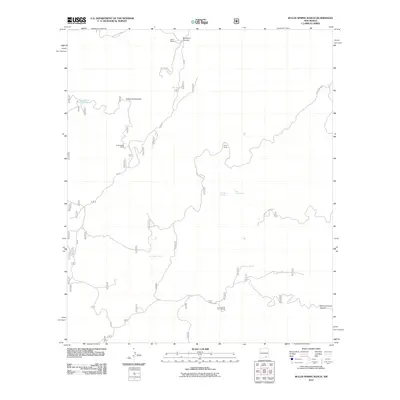
2011 Map of Bullis Spring Ranch
USGS Topo · Published 2011About this map
Bullis Spring Ranch and Prude Ranch anchor this high-desert landscape in Chaves County, where water management is the primary driver of human settlement. The map reveals an intricate network of livestock water sources, ranging from natural outflows like West Bear Springs and East Bear Springs to man-made infrastructure such as Dirt Tank, Crip Tank, and Foster Tank. These features are essential for sustaining life in a region defined by deep drainages like Buckhorn Canyon and Indian Trail Canyon. Transportation in this part of New Mexico relies on winding routes such as Rim Rd and Bear Canyon Rd, which navigate the elevation changes between grazing lands and remote ranch complexes like Mean Ranch and Terry Ranch.
Find a feature on this map
22 named features on this map. Tap any name to fly to it.
Don’t see what you’re looking for? This feature index may not catch every label — zoom into the map to look around manually.
Map Details
Editions of this 2011 Bullis Spring Ranch Map
This is the sole edition of this map. No revisions or reprints were ever made.
Other maps of this area

1943 · Texas Hill
USGS Topo · 1:62,500

1945 · Texas Hill
USGS Topo · 1:62,500

1954 · Carlsbad
USGS Topo · 1:250,000

1958 · Carlsbad
USGS Topo · 1:250,000

1963 · Tanner Ranch
USGS Topo · 1:24,000

1963 · Panama Ranch
USGS Topo · 1:24,000

1965 · Lewis Peak NE
USGS Topo · 1:24,000

1965 · Lewis Peak
USGS Topo · 1:24,000

1965 · Bullis Spring Ranch
USGS Topo · 1:24,000

1965 · Pinon Ranch
USGS Topo · 1:24,000