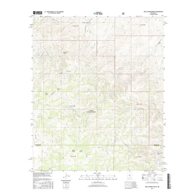
2017 Map of Bullis Spring Ranch
USGS Topo · Published 2017About this map
Lincoln National Forest land dominates this high-altitude landscape along the border of Chaves and Otero counties. The geography is defined by the prominent Guadalupe Rim, which overlooks a complex system of drainages including Bullis Canyon, Indian Trail Canyon, and Sargent Canyon. Local water management is the primary sign of human activity here, with numerous tanks and seeps developed to support ranching in an arid environment. Notable locations include Bullis Spring Ranch and its namesake Bullis Spring, as well as essential infrastructure like the Tammy Water Storage Tank and Foster Water Storage Tank. These water sources, along with features such as Sargent Seep and Wild Bear Draw, illustrate the vital relationship between land use and the limited natural springs found throughout the canyons of the southern New Mexico mountains.
Find a feature on this map
40 named features on this map. Tap any name to fly to it.
Don’t see what you’re looking for? This feature index may not catch every label — zoom into the map to look around manually.
Map Details
Editions of this 2017 Bullis Spring Ranch Map
This is the sole edition of this map. No revisions or reprints were ever made.
Other maps of this area

1943 · Texas Hill
USGS Topo · 1:62,500

1945 · Texas Hill
USGS Topo · 1:62,500

1954 · Carlsbad
USGS Topo · 1:250,000

1958 · Carlsbad
USGS Topo · 1:250,000

1963 · Tanner Ranch
USGS Topo · 1:24,000

1963 · Panama Ranch
USGS Topo · 1:24,000

1965 · Lewis Peak NE
USGS Topo · 1:24,000

1965 · Lewis Peak
USGS Topo · 1:24,000

1965 · Bullis Spring Ranch
USGS Topo · 1:24,000

1965 · Pinon Ranch
USGS Topo · 1:24,000