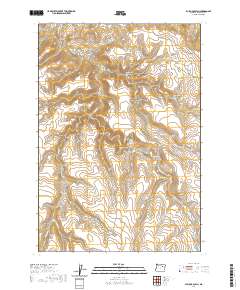
2020 Map of Bullock Gulch
USGS Topo · Published 2020About this map
Linder Basin and Baldwin Gulch characterize this high-elevation landscape in Grant County, where the terrain is carved by a complex network of drainage systems. The survey reveals a region defined by its naming conventions, often reflecting family names or local geographic markers such as Jackson Gulch and Jones Canyon. This is a land of steep relief and seasonal waterways, where features like Cottonwood Gulch and Stone Gulch descend toward the larger valley of Long Cr.
Find a feature on this map
21 named features on this map. Tap any name to fly to it.
Don’t see what you’re looking for? This feature index may not catch every label — zoom into the map to look around manually.
Map Details
Editions of this 2020 Bullock Gulch Map
This is the sole edition of this map. No revisions or reprints were ever made.
Other maps of this area

1949 · Long Creek
USGS Topo · 1:62,500

1950 · Ritter
USGS Topo · 1:62,500

1951 · Long Creek
USGS Topo · 1:62,500

1951 · Courtrock
USGS Topo · 1:62,500

1951 · Monument
USGS Topo · 1:62,500

1952 · Ritter
USGS Topo · 1:62,500

1955 · Canyon City
USGS Topo · 1:250,000

1959 · Canyon City
USGS Topo · 1:250,000

1980 · Monument
USGS Topo · 1:100,000
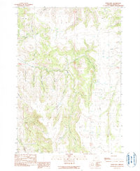
1990 · Steet Mtn.
USGS Topo · 1:24,000