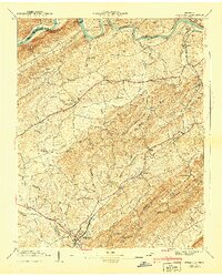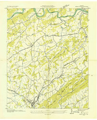
1935 Map of Bulls Gap
USGS Topo · Published 1935About this map
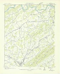
The Southern railroad junction at Bulls Gap anchors this mid-1930s landscape, serving as a vital transportation hub where the Andrew Johnson Highway meets the rail lines. The terrain is defined by the prominent ridge lines of Bays Mountain and Piney Mountain, which hem in the agricultural valley to the south, while the Holston River meanders across the northern border. This era of development is marked by the infrastructure of the Hydroelectric Company Transmission Line cutting across the rural topography, yet the community remains oriented around traditional landmarks. Numerous small settlements such as St Clair, Persia, and Longtown are visible, each supported by a network of local institutions including Morrissetts Chapel, Liberty Sch, and Thorps Sch. Along the river, Melendy Ferry and Austins Mill represent the lingering importance of water-based industry and transit before the full modernization of the regional road system.
Find a feature on this map
68 named features on this map. Tap any name to fly to it.
Don’t see what you’re looking for? This feature index may not catch every label — zoom into the map to look around manually.
Map Details
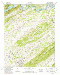
Editions of this 1935 Bulls Gap Map
2 editions found
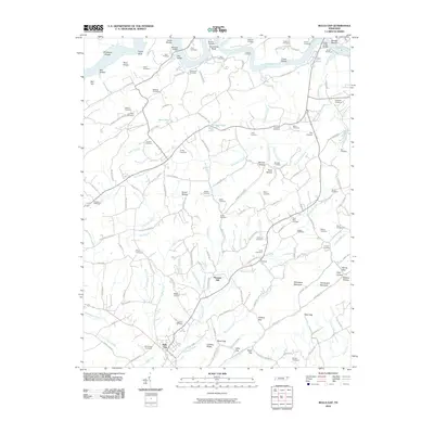
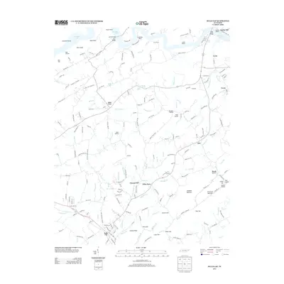
Historical Maps of Bulls Gap Through Time
8 maps found