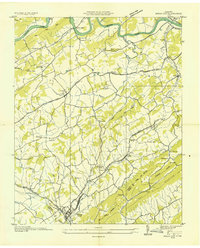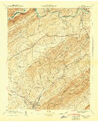
1940 Map of Bulls Gap
USGS Topo · Published 1940About this map
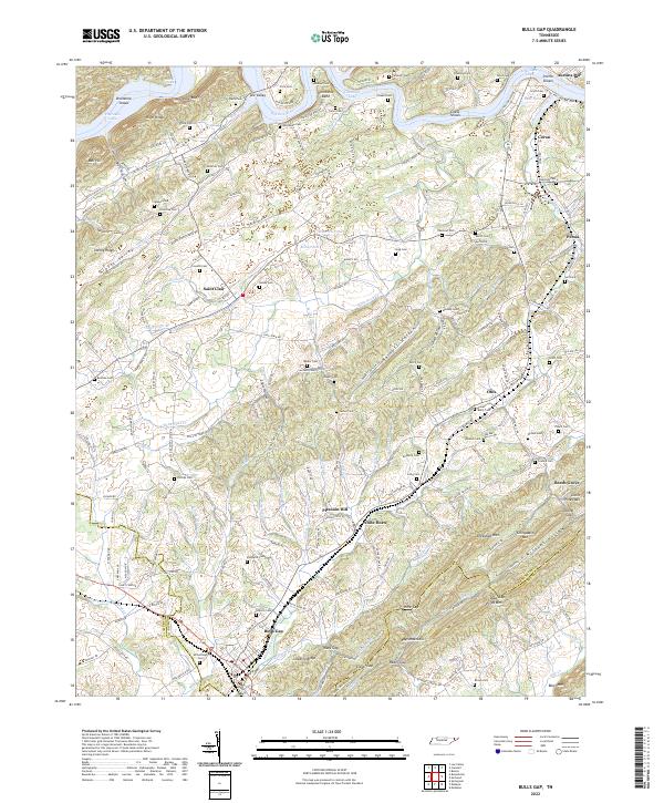
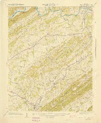
Bulls Gap serves as a critical rail junction where the Southern railroad lines converge at the base of the Bays Mountains. This 1939 field examination reveals a landscape defined by steep ridges like Pikestaff Ridge and the broad agricultural stretches of Grassy Valley. Local travel is anchored by river crossings such as Price Ferry on the Holston River, while the rural economy is marked by Austins Mill and numerous family-named landmarks. The map illustrates a densely settled rural community, with schools like Liberty Sch and Pleasant Hill Sch and many churches, including Morrisett Chapel and Speedwell Ch, serving as focal points. The terrain is deeply carved by water, from Whitehorn Creek to the Drumhole Shoals, showing how the geography of the gaps and hollows shaped the growth of settlements like St Clair and Persia.
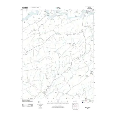
Find a feature on this map
91 named features on this map. Tap any name to fly to it.
Don’t see what you’re looking for? This feature index may not catch every label — zoom into the map to look around manually.
Map Details
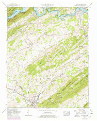
Editions of this 1940 Bulls Gap Map
2 editions found
Historical Maps of Bulls Gap Through Time
8 maps found