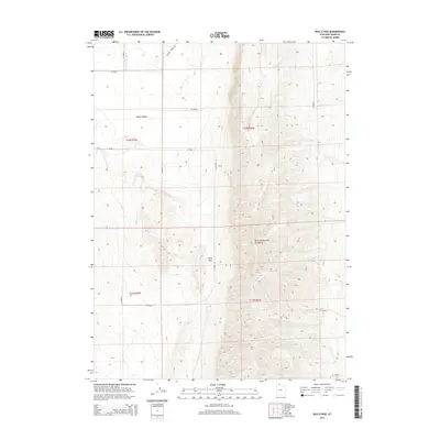
2014 Map of Bulls Pass
USGS Topo · Published 2014About this map
The North Promontory Mountains dominate the eastern half of this landscape, creating a high-altitude barrier that defines the local geography. At the heart of this range lies Bulls Pass, a critical topographical notch that provides passage between the high peaks. To the west, the land descends into the broad expanse of Hansel Valley, where the drainage of Hansel Valley Wash snakes through the lower elevations. The survey reveals a strictly organized grid of rural infrastructure, with routes such as N Hansel Valley Rd and W 20000 N providing access to the vast grazing lands and remote section corners of Box Elder County. This intersection of high mountain terrain and systematic valley road planning illustrates the enduring importance of mountain passes for movement in this part of northern Utah.
Find a feature on this map
14 named features on this map. Tap any name to fly to it.
Don’t see what you’re looking for? This feature index may not catch every label — zoom into the map to look around manually.
Map Details
Editions of this 2014 Bulls Pass Map
This is the sole edition of this map. No revisions or reprints were ever made.
Other maps of this area

1954 · Brigham City
USGS Topo · 1:250,000

1958 · Brigham City
USGS Topo · 1:250,000

1961 · Thatcher Mountain
USGS Topo · 1:62,500

1962 · Brigham City
USGS Topo · 1:250,000

1968 · Lake Ridge
USGS Topo · 1:24,000

1968 · Sunset Pass
USGS Topo · 1:24,000

1968 · Howell
USGS Topo · 1:24,000

1968 · Salt Wells
USGS Topo · 1:24,000

1968 · Ridgedale Pass
USGS Topo · 1:24,000

1968 · Rattlesnake Pass
USGS Topo · 1:24,000