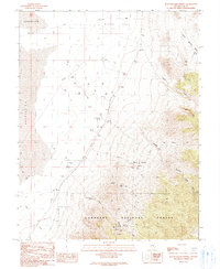
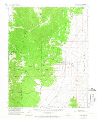
1990 Map of Bullwhacker Springs
USGS Topo · Published 1990About this map
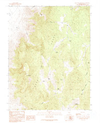
Bacon Flat and the eastern edge of a large Depression characterize the arid, low-lying terrain that transitions into the high country of the Humboldt National Forest. In the early 1990s, this area of Nye County remained a landscape of active and historic resource extraction, marked by numerous Drill Holes, Oil Wells, and several specific mining sites like the Terrell Mine and the Irwin Mine. The presence of Lake Well and several Tanks suggests the infrastructure required to manage water in this desert environment.
Find a feature on this map
35 named features on this map. Tap any name to fly to it.
Don’t see what you’re looking for? This feature index may not catch every label — zoom into the map to look around manually.
Map Details
Editions of this 1990 Bullwhacker Springs Map
This is the sole edition of this map. No revisions or reprints were ever made.
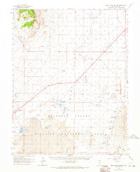
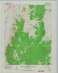
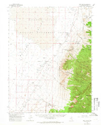
Other maps of this area

1956 · Lund
USGS Topo · 1:250,000

1960 · Lund
USGS Topo · 1:250,000
1964 · Blue Eagle Springs
USGS Topo · 1:62,500
1964 · Currant
USGS Topo · 1:62,500
1964 · Troy Canyon
USGS Topo · 1:62,500
1964 · Forest Home
USGS Topo · 1:62,500
1980 · Duckwater
USGS Topo · 1:100,000
1988 · Quinn Canyon Range
USGS Topo · 1:100,000
1990 · Troy Canyon
USGS Topo · 1:24,000
1990 · Blue Eagle Mountain
USGS Topo · 1:24,000