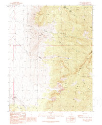
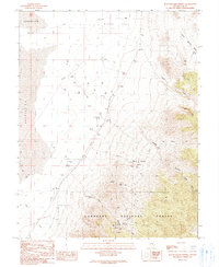
1990 Map of Troy Canyon
USGS Topo · Published 1990About this map
Mining and ranching activity define this remote section of the Grant Range within the Humboldt National Forest. Small-scale extraction is evident through numerous Prospects, Adits, and a Mine Shaft concentrated primarily within Troy Canyon. These workings suggest a period of intense individual prospecting, supported by water sources like Little Meadows Spring and Troy Creek.
Find a feature on this map
26 named features on this map. Tap any name to fly to it.
Don’t see what you’re looking for? This feature index may not catch every label — zoom into the map to look around manually.
Map Details
Editions of this 1990 Troy Canyon Map
This is the sole edition of this map. No revisions or reprints were ever made.
Other maps of this area

1956 · Lund
USGS Topo · 1:250,000

1960 · Lund
USGS Topo · 1:250,000

1964 · Troy Canyon
USGS Topo · 1:62,500

1964 · Forest Home
USGS Topo · 1:62,500

1985 · Adaven
USGS Topo · 1:24,000
1985 · Water Gap NW
USGS Topo · 1:24,000
1985 · Nyala
USGS Topo · 1:24,000

1988 · Quinn Canyon Range
USGS Topo · 1:100,000
1990 · Christian Spring
USGS Topo · 1:24,000
1990 · Bullwhacker Springs
USGS Topo · 1:24,000