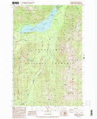
1988 Map of Bumping Lake
USGS Topo · Published 1989About this map
Bumping Lake and its surrounding high-elevation landscape are documented here as they appeared in the late 1980s. The reservoir, regulated by Bumping Dam with a spillway elevation of 3,426 feet, serves as a central hub for activity within the Snoqualmie National Forest. The map illustrates a network of recreational sites, including the Bumping Lake Campground, a Picnic Area, and various boat facilities. A flume and the winding Bumping River provide insight into the local water management and drainage patterns that define this valley.
Find a feature on this map
46 named features on this map. Tap any name to fly to it.
Don’t see what you’re looking for? This feature index may not catch every label — zoom into the map to look around manually.
Map Details
Editions of this 1988 Bumping Lake Map
2 editions found
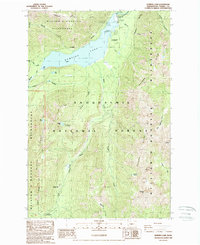
Other maps of this area

1902 · Mount Aix
USGS Topo · 1:125,000

1904 · Mt Aix
USGS Topo · 1:125,000

1950 · Yakima
USGS Topo · 1:250,000

1958 · Yakima
USGS Topo · 1:250,000

1961 · Yakima
USGS Topo · 1:250,000

1962 · Bumping Lake
USGS Topo · 1:62,500

1962 · White Pass
USGS Topo · 1:62,500

1967 · Rimrock Lake
USGS Topo · 1:24,000
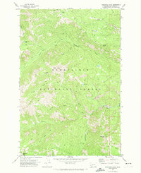
1971 · Timberwolf Mtn
USGS Topo · 1:24,000
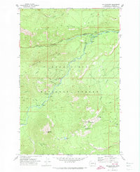
1971 · Old Scab Mtn.
USGS Topo · 1:24,000