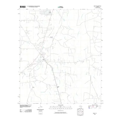
2010 Map of Buna
USGS Topo · Published 2010About this map
Buna and Bessmay form the primary population centers on this Southeast Texas landscape, where the flat timberland is intricately drained by a network of bayous and marshes. The hydrological character of the area is defined by the wandering courses of Cypress Creek and Boggy Creek, alongside smaller tributaries like Goode Branch and Strawther Branch. The presence of the Cougar Country Lake Dam on Long Branch near the northern boundary indicates a local management of water resources within this low-lying terrain.
Find a feature on this map
47 named features on this map. Tap any name to fly to it.
Don’t see what you’re looking for? This feature index may not catch every label — zoom into the map to look around manually.
Map Details
Editions of this 2010 Buna Map
This is the sole edition of this map. No revisions or reprints were ever made.
Other maps of this area

1952 · Lake Charles
USGS Topo · 1:250,000

1954 · Lake Charles
USGS Topo · 1:250,000

1954 · Beaumont
USGS Topo · 1:250,000

1955 · Silsbee
USGS Topo · 1:62,500

1955 · Bessmay
USGS Topo · 1:62,500

1957 · Beaumont
USGS Topo · 1:250,000

1958 · Spurger
USGS Topo · 1:62,500

1958 · Kirbyville
USGS Topo · 1:62,500

1984 · Beaumont
USGS Topo · 1:250,000

1984 · Potato Patch Lake
USGS Topo · 1:24,000