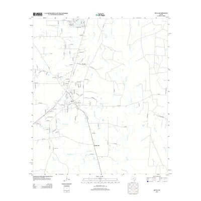
2012 Map of Buna
USGS Topo · Published 2012About this map
Buna serves as the central hub for this portion of Jasper County, where the road network converges at the intersection of several local and county routes. To the north, the settlement of Bessmay sits along the roadway, while the smaller community of Bunker Hill is located further south. The landscape is defined by a dense web of waterways, including Cypress Creek, Red Bank Creek, and Boggy Creek, which drain the low-lying terrain.
Find a feature on this map
103 named features on this map. Tap any name to fly to it.
Don’t see what you’re looking for? This feature index may not catch every label — zoom into the map to look around manually.
Map Details
Editions of this 2012 Buna Map
This is the sole edition of this map. No revisions or reprints were ever made.
Other maps of this area

1952 · Lake Charles
USGS Topo · 1:250,000

1954 · Lake Charles
USGS Topo · 1:250,000

1954 · Beaumont
USGS Topo · 1:250,000

1955 · Silsbee
USGS Topo · 1:62,500

1955 · Bessmay
USGS Topo · 1:62,500

1957 · Beaumont
USGS Topo · 1:250,000

1958 · Spurger
USGS Topo · 1:62,500

1958 · Kirbyville
USGS Topo · 1:62,500

1984 · Beaumont
USGS Topo · 1:250,000

1984 · Potato Patch Lake
USGS Topo · 1:24,000