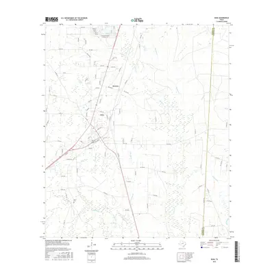
2016 Map of Buna
USGS Topo · Published 2016About this map
Buna and the nearby community of Bessmay anchor this 2016 survey of southeastern Texas, where the landscape is defined by an intricate network of wetlands and bayous. The terrain transitions between the dense growth of Phillips Thicket and Farwell Baygall, reflecting the bottomland ecology of the region. Local hydrology is detailed through numerous named tributaries, including White Bay Br, Strawther Br, and the expansive Hollis Marsh along the eastern boundary.
Find a feature on this map
95 named features on this map. Tap any name to fly to it.
Don’t see what you’re looking for? This feature index may not catch every label — zoom into the map to look around manually.
Map Details
Editions of this 2016 Buna Map
This is the sole edition of this map. No revisions or reprints were ever made.
Other maps of this area

1952 · Lake Charles
USGS Topo · 1:250,000

1954 · Lake Charles
USGS Topo · 1:250,000

1954 · Beaumont
USGS Topo · 1:250,000

1955 · Silsbee
USGS Topo · 1:62,500

1955 · Bessmay
USGS Topo · 1:62,500

1957 · Beaumont
USGS Topo · 1:250,000

1958 · Spurger
USGS Topo · 1:62,500

1958 · Kirbyville
USGS Topo · 1:62,500

1984 · Beaumont
USGS Topo · 1:250,000

1984 · Potato Patch Lake
USGS Topo · 1:24,000