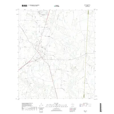
2019 Map of Buna
USGS Topo · Published 2019About this map
Buna and Bessmay anchor this landscape in Jasper County, where the BNSF Railway intersects a complex network of waterways and timberlands. The terrain is characterized by specialized ecological features such as Phillips Thicket and Farrell Baygall, which signify the dense, often swampy vegetation typical of this part of East Texas. A sophisticated drainage system of branches and creeks, including White Bay Br and Strawther Br, feeds into larger features like Gum Slough and the extensive Hollis Marsh to the southeast.
Find a feature on this map
107 named features on this map. Tap any name to fly to it.
Don’t see what you’re looking for? This feature index may not catch every label — zoom into the map to look around manually.
Map Details
Editions of this 2019 Buna Map
This is the sole edition of this map. No revisions or reprints were ever made.
Other maps of this area

1952 · Lake Charles
USGS Topo · 1:250,000

1954 · Lake Charles
USGS Topo · 1:250,000

1954 · Beaumont
USGS Topo · 1:250,000

1955 · Silsbee
USGS Topo · 1:62,500

1955 · Bessmay
USGS Topo · 1:62,500

1957 · Beaumont
USGS Topo · 1:250,000

1958 · Spurger
USGS Topo · 1:62,500

1958 · Kirbyville
USGS Topo · 1:62,500

1984 · Beaumont
USGS Topo · 1:250,000

1984 · Potato Patch Lake
USGS Topo · 1:24,000