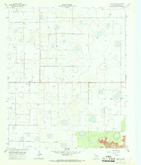
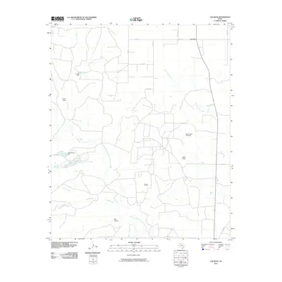
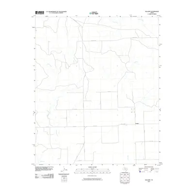
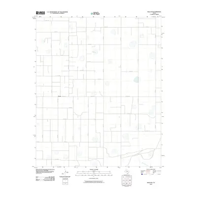
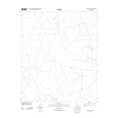
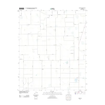
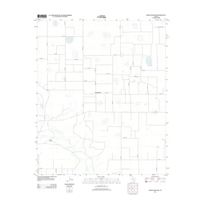
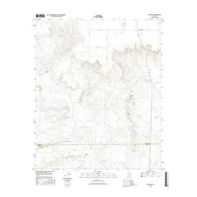
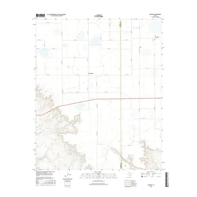
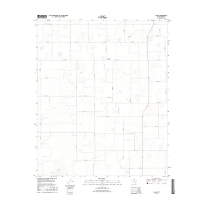
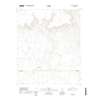
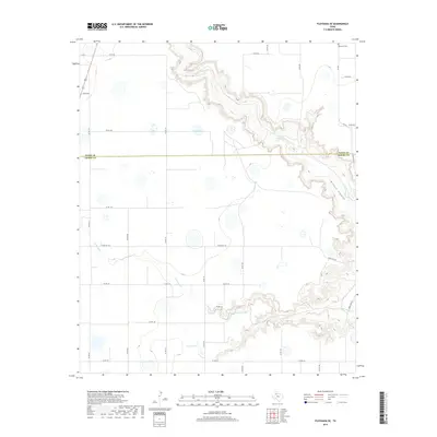
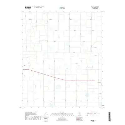
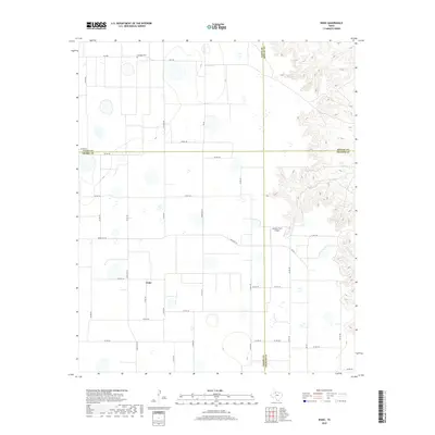
1961 Map of Bunker Hill
USGS Topo · Published 1963About this map
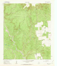
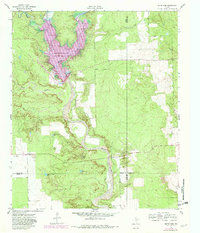
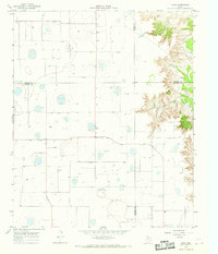
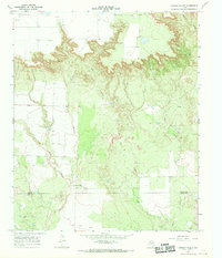
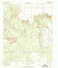
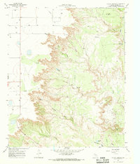
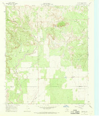
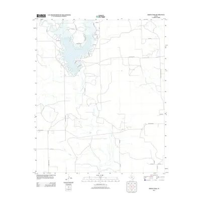
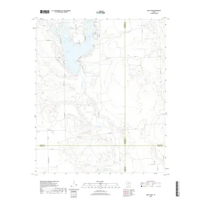
White River and its meandering channel dominate this 1961 topographic survey of the West Texas breaks, cutting a deep path through the caprock country along the border of Crosby and Dickens counties. The landscape is defined by its drainage systems, including Grape Creek and Poe Creek, which carve out complex networks of draws and hollows such as Poe Hollow.
Find a feature on this map
14 named features on this map. Tap any name to fly to it.
Don’t see what you’re looking for? This feature index may not catch every label — zoom into the map to look around manually.
Map Details
Editions of this 1961 Bunker Hill Map
This is the sole edition of this map. No revisions or reprints were ever made.
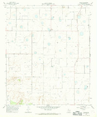
Historical Maps of Dickens County Through Time
84 maps found
1961 Bunker Hill
Crosby County, TX
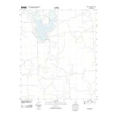
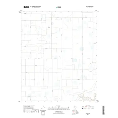
1962 Smith Tank
Crosby County, TX
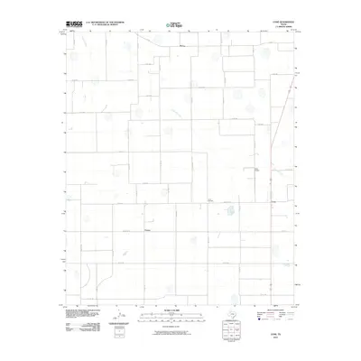
1965 Cone
Crosby County, TX
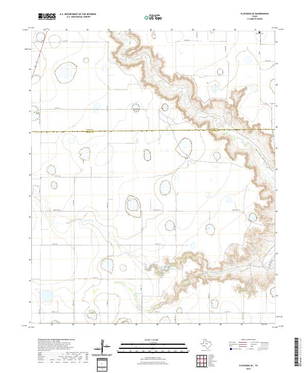
1965 Floydada SE
Crosby County, TX
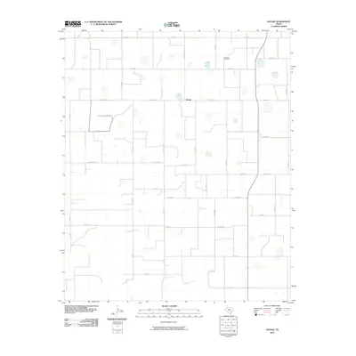
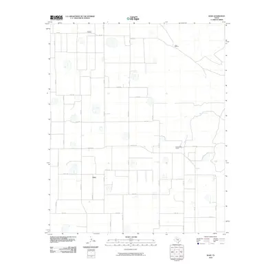
1965 Wake
Crosby County, TX
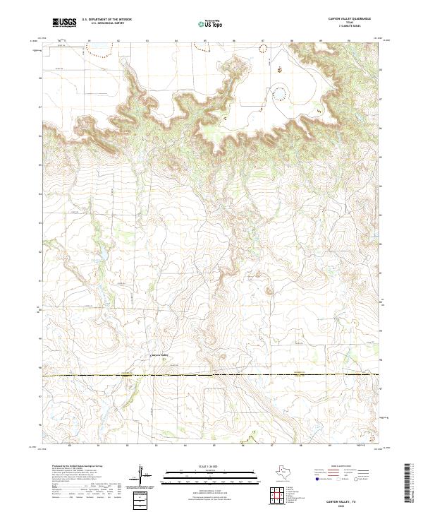
1966 Canyon Valley
Crosby County, TX
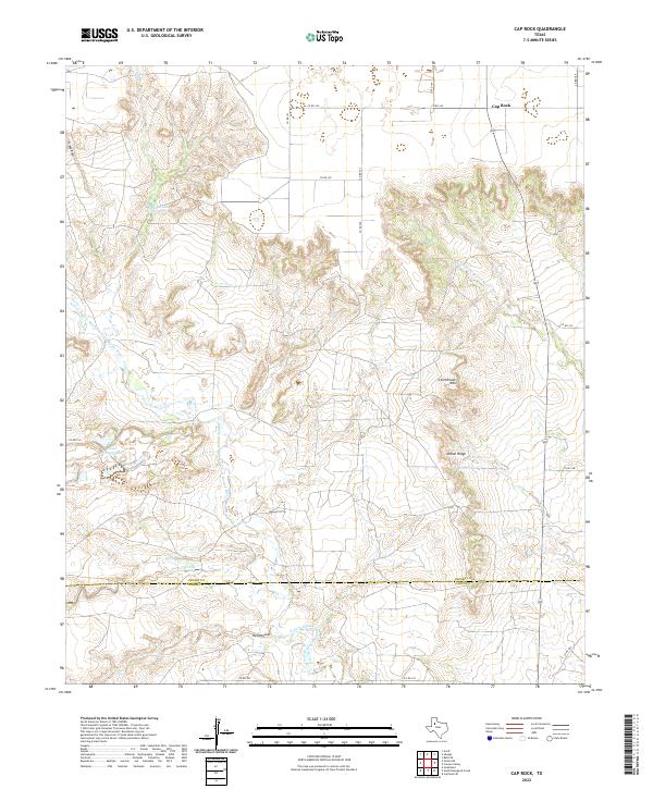
1966 Cap Rock
Crosby County, TX
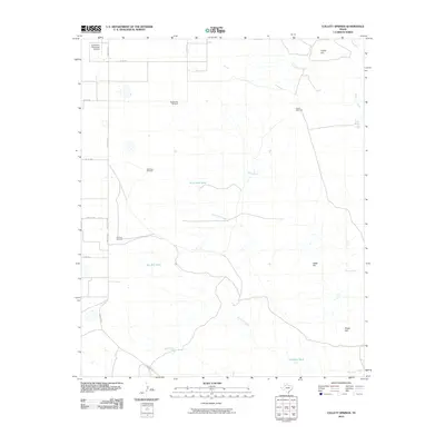
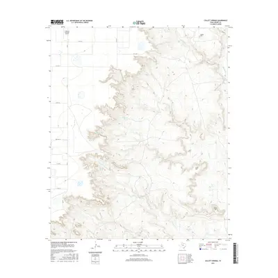
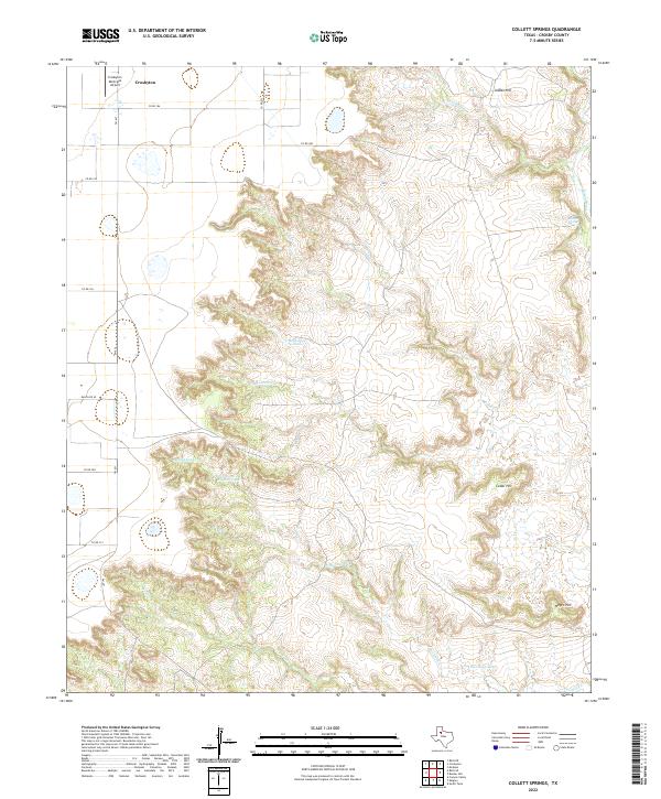
1966 Collett Springs
Crosby County, TX
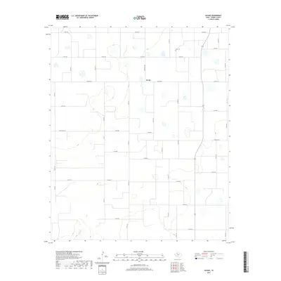
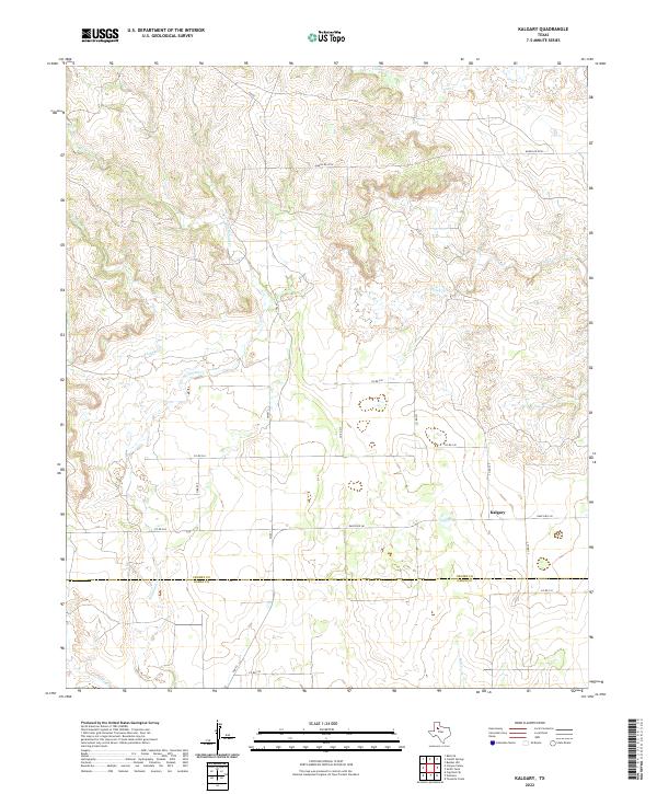
1966 Kalgary
Crosby County, TX
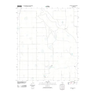
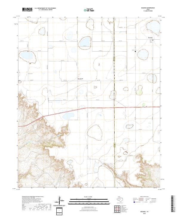
1966 McAdoo
Crosby County, TX
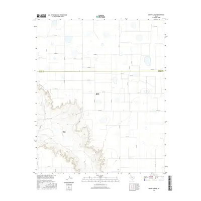
1966 Mount Blanco
Crosby County, TX
1967 Ralls NE
Crosby County, TX
1967 Ralls SE
Crosby County, TX
1967 Savage
Crosby County, TX
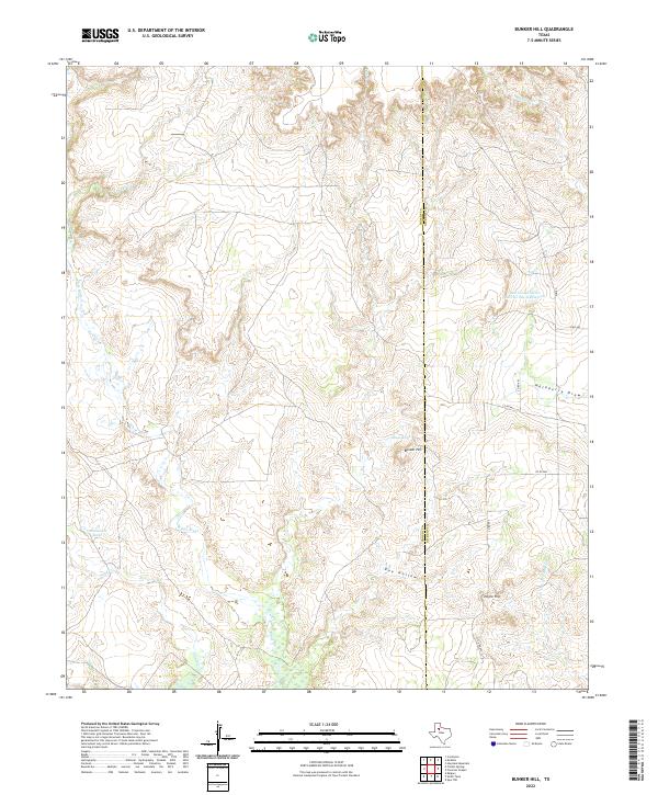
2010 Bunker Hill
Crosby County, TX
2010 Canyon Valley
Crosby County, TX
2010 Cap Rock
Crosby County, TX
2010 Collett Springs
Crosby County, TX
2010 Cone
Crosby County, TX
2010 Floydada SE
Crosby County, TX
2010 Kalgary
Crosby County, TX
2010 McAdoo
Crosby County, TX
2010 Mount Blanco
Crosby County, TX
2010 Ralls NE
Crosby County, TX
2010 Ralls SE
Crosby County, TX
2010 Savage
Crosby County, TX
2010 Smith Tank
Crosby County, TX
2010 Wake
Crosby County, TX
2012 Bunker Hill
Crosby County, TX
2012 Canyon Valley
Crosby County, TX
2012 Cap Rock
Crosby County, TX
2012 Collett Springs
Crosby County, TX
2012 Cone
Crosby County, TX
2012 Floydada SE
Crosby County, TX
2012 Kalgary
Crosby County, TX
2012 McAdoo
Crosby County, TX
2012 Mount Blanco
Crosby County, TX
2012 Ralls NE
Crosby County, TX
2012 Ralls SE
Crosby County, TX
2012 Savage
Crosby County, TX
2012 Smith Tank
Crosby County, TX
2012 Wake
Crosby County, TX
2016 Bunker Hill
Crosby County, TX
2016 Canyon Valley
Crosby County, TX
2016 Cap Rock
Crosby County, TX
2016 Collett Springs
Crosby County, TX
2016 Cone
Crosby County, TX
2016 Floydada SE
Crosby County, TX

2016 Kalgary
Crosby County, TX
2016 McAdoo
Crosby County, TX
2016 Mount Blanco
Crosby County, TX
2016 Ralls NE
Crosby County, TX
2016 Ralls SE
Crosby County, TX
2016 Savage
Crosby County, TX
2016 Smith Tank
Crosby County, TX
2016 Wake
Crosby County, TX
2019 Bunker Hill
Crosby County, TX
2019 Canyon Valley
Crosby County, TX
2019 Cap Rock
Crosby County, TX
2019 Collett Springs
Crosby County, TX
2019 Cone
Crosby County, TX
2019 Floydada SE
Crosby County, TX
2019 Kalgary
Crosby County, TX
2019 McAdoo
Crosby County, TX
2019 Mount Blanco
Crosby County, TX
2019 Ralls NE
Crosby County, TX
2019 Ralls SE
Crosby County, TX
2019 Savage
Crosby County, TX
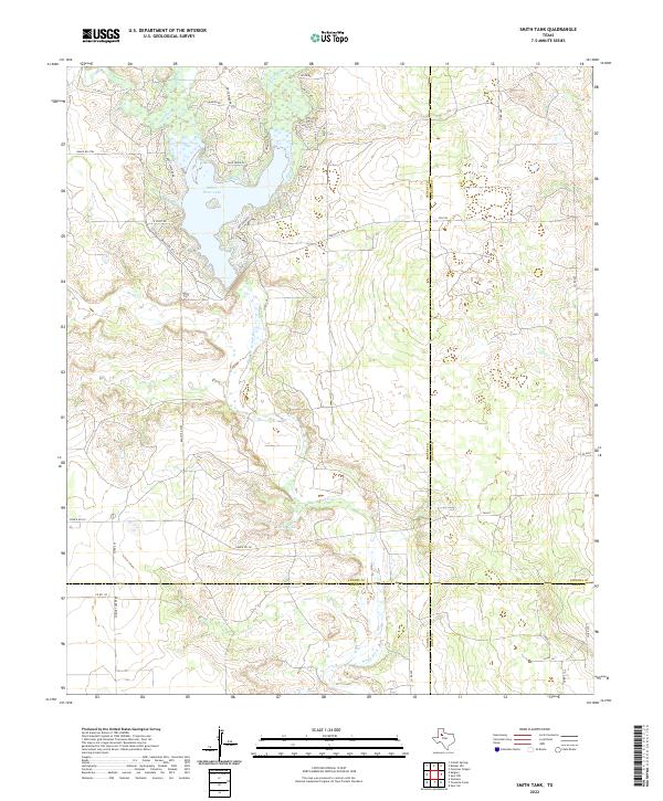
2019 Smith Tank
Crosby County, TX
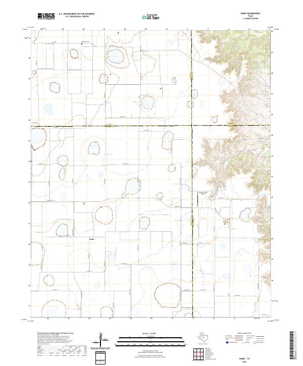
2019 Wake
Crosby County, TX
2022 Bunker Hill
Crosby County, TX
2022 Canyon Valley
Crosby County, TX
2022 Cap Rock
Crosby County, TX
2022 Collett Springs
Crosby County, TX

2022 Cone
Crosby County, TX
2022 Floydada SE
Crosby County, TX
2022 Kalgary
Crosby County, TX
2022 McAdoo
Crosby County, TX
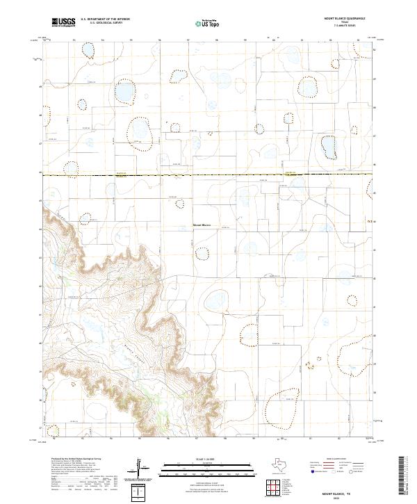
2022 Mount Blanco
Crosby County, TX
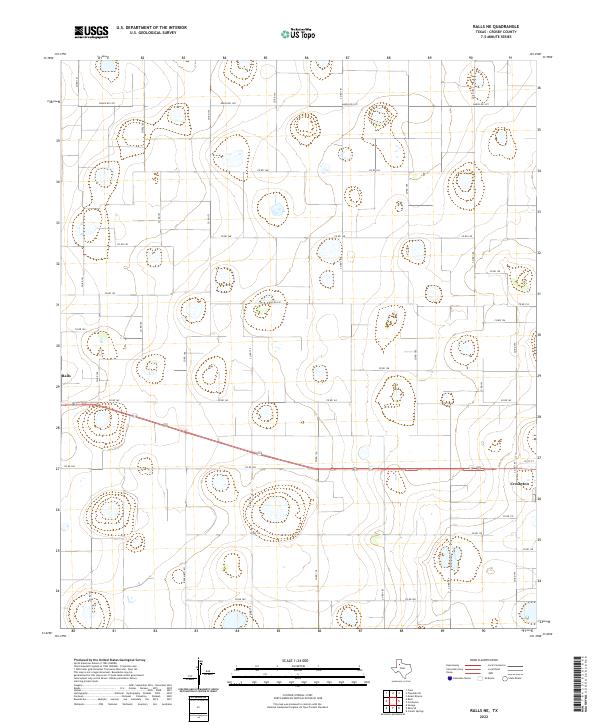
2022 Ralls NE
Crosby County, TX
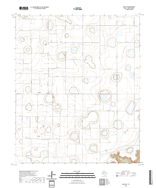
2022 Ralls SE
Crosby County, TX
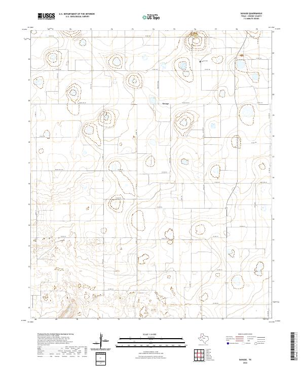
2022 Savage
Crosby County, TX
2022 Smith Tank
Crosby County, TX
2022 Wake
Crosby County, TX