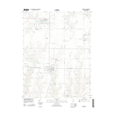
2015 Map of Bunker Hill
USGS Topo · Published 2015About this map
Bunker Hill serves as the primary hub of this Macoupin County landscape, surrounded by smaller communities and rural residential developments. To the north, the Royal Lakes area features a distinct cluster of small water bodies including Shadrach Lake, Meshach Lake, and Shad Lake, illustrating a unique planned-community layout centered on recreation. The terrain is defined by the winding course of the E Fork Wood River and Paddock Cr, which carve through the farmland to the west and south of the main settlement.
Find a feature on this map
84 named features on this map. Tap any name to fly to it.
Don’t see what you’re looking for? This feature index may not catch every label — zoom into the map to look around manually.
Map Details
Editions of this 2015 Bunker Hill Map
This is the sole edition of this map. No revisions or reprints were ever made.
Other maps of this area

1912 · Gillespie
USGS Topo · 1:62,500

1915 · Gillespie
USGS Topo · 1:62,500

1925 · Brighton
USGS Topo · 1:62,500

1927 · Alton
USGS Topo · 1:62,500

1927 · Edwardsville
USGS Topo · 1:62,500

1928 · Brighton
USGS Topo · 1:62,500

1932 · Edwardsville
USGS Topo · 1:62,500

1934 · Alton
USGS Topo · 1:62,500

1948 · Quincy
USGS Topo · 1:250,000

1949 · Saint Louis
USGS Topo · 1:250,000