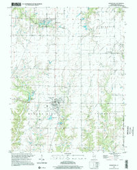
1998 Map of Bunker Hill
USGS Topo · Published 2002About this map
Bunker Hill sits at the heart of this Macoupin County landscape, serving as a hub for the surrounding agricultural and industrial districts. The terrain is marked by a complex network of waterways, including Paddock Creek and the East Fork Wood River, which have shaped the local topography and placement of rural settlements like Millville and Centerville. To the east, the Staunton West Oil Field indicates the subsurface resource extraction that complemented the area's farming economy.
Find a feature on this map
36 named features on this map. Tap any name to fly to it.
Don’t see what you’re looking for? This feature index may not catch every label — zoom into the map to look around manually.
Map Details
Editions of this 1998 Bunker Hill Map
This is the sole edition of this map. No revisions or reprints were ever made.
Other maps of this area

1912 · Gillespie
USGS Topo · 1:62,500

1915 · Gillespie
USGS Topo · 1:62,500

1925 · Brighton
USGS Topo · 1:62,500

1927 · Alton
USGS Topo · 1:62,500

1927 · Edwardsville
USGS Topo · 1:62,500

1928 · Brighton
USGS Topo · 1:62,500

1932 · Edwardsville
USGS Topo · 1:62,500

1934 · Alton
USGS Topo · 1:62,500

1948 · Quincy
USGS Topo · 1:250,000

1949 · Saint Louis
USGS Topo · 1:250,000