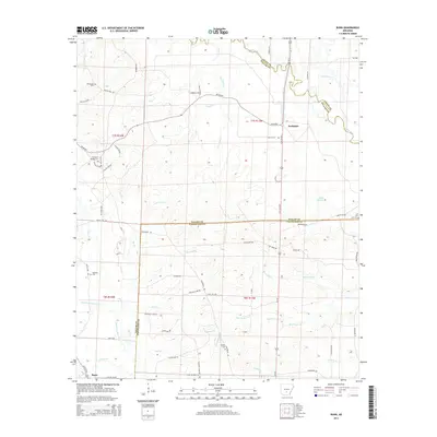
2014 Map of Bunn
USGS Topo · Published 2014About this map
The Saline River winds through the northern reaches of this territory, defining the boundary between Grant and Dallas Counties. This rural landscape is characterized by a dense network of watercourses, including Cow Head Cr, Barn Hill Cr, and the slow-moving Mink Slough. Several small cemeteries are scattered across the terrain, such as Hardcastle Cem and Hampton Springs Cem in the west, and Wright Cem further south. These landmarks, along with Harrison Cem and Lee Cem, provide a glimpse into the generations of families that settled this pocket of Arkansas.
Find a feature on this map
74 named features on this map. Tap any name to fly to it.
Don’t see what you’re looking for? This feature index may not catch every label — zoom into the map to look around manually.
Map Details
Editions of this 2014 Bunn Map
This is the sole edition of this map. No revisions or reprints were ever made.
Other maps of this area

1903 · Camden
USGS Topo · 1:125,000

1953 · El Dorado
USGS Topo · 1:250,000

1955 · Little Rock
USGS Topo · 1:250,000

1956 · Little Rock
USGS Topo · 1:250,000

1957 · El Dorado
USGS Topo · 1:250,000

1958 · El Dorado
USGS Topo · 1:250,000

1960 · El Dorado
USGS Topo · 1:250,000

1960 · Little Rock
USGS Topo · 1:250,000

1964 · Little Rock
USGS Topo · 1:250,000

1964 · Staves
USGS Topo · 1:24,000