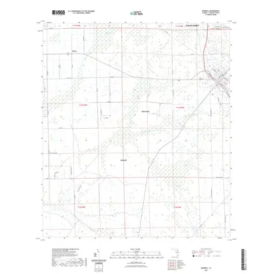
2021 Map of Bunnell
USGS Topo · Published 2021About this map
Bunnell serves as a central hub in this Flagler County landscape, where the transition from organized grid-plan streets to expansive wetland systems is clearly defined. The northern reaches of the map show the suburban expansion of Palm Coast meeting the drainage networks of the Big Cypress Swamp. A complex system of waterways, including the Black Br Canal and Hunter Branch, illustrates the significant engineering required to manage this low-lying terrain. To the west, the settlement of Bimini sits along a network of county roads that cut through the cypress stands. This 2021 data reflects a modern era of recreational adaptation, notably with the Lehigh Greenway Trl following historical corridors. The southern portion is dominated by the wilder reaches of Sweetwater Swamp and the meandering path of Haw Cr, showing the persistent influence of the Florida swamp landscape even as development encroaches from the north and east.
Find a feature on this map
65 named features on this map. Tap any name to fly to it.
Don’t see what you’re looking for? This feature index may not catch every label — zoom into the map to look around manually.
Map Details
Editions of this 2021 Bunnell Map
This is the sole edition of this map. No revisions or reprints were ever made.
Other maps of this area

1927 · Matanzas
USGS Topo · 1:48,000

1937 · Dinner Island
USGS Topo · 1:48,000

1937 · Ormond
USGS Topo · 1:48,000

1943 · Dinner Island
USGS Topo · 1:62,500

1943 · Matanzas
USGS Topo · 1:62,500

1944 · Ormond
USGS Topo · 1:62,500

1944 · Dinner Island
USGS Topo · 1:62,500

1944 · Matanzas
USGS Topo · 1:62,500

1954 · Daytona Beach
USGS Topo · 1:250,000

1956 · Favoretta
USGS Topo · 1:24,000