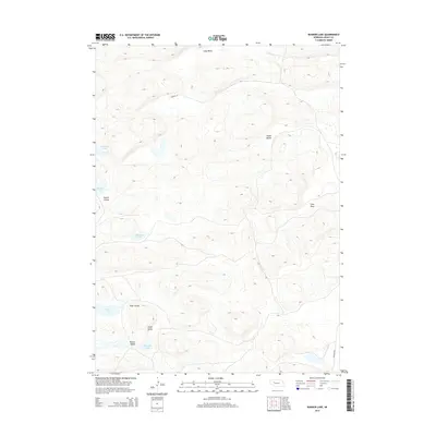
2014 Map of Bunner Lake
USGS Topo · Published 2014About this map
Bunner Lake and several other small basins define this characteristic landscape of the Nebraska Sandhills. This 2014 survey reveals a terrain of pocketed depressions and linear ridges, where drainage is primarily internal, forming a series of isolated water bodies such as Anderson Lake and Round Lake. The lack of through-running streams is notable, with the topography instead organized into named depressions like Hardy Valley and Long Valley.
Find a feature on this map
14 named features on this map. Tap any name to fly to it.
Don’t see what you’re looking for? This feature index may not catch every label — zoom into the map to look around manually.
Map Details
Editions of this 2014 Bunner Lake Map
This is the sole edition of this map. No revisions or reprints were ever made.
Other maps of this area

1948 · Carr Lake
USGS Topo · 1:62,500

1948 · Whitman
USGS Topo · 1:62,500

1948 · Spring Valley
USGS Topo · 1:62,500

1950 · Spring Valley
USGS Topo · 1:62,500

1950 · Whitman
USGS Topo · 1:62,500

1950 · Carr Lake
USGS Topo · 1:62,500

1950 · Hire
USGS Topo · 1:62,500

1954 · North Platte
USGS Topo · 1:250,000

1956 · North Platte
USGS Topo · 1:250,000

1957 · North Platte
USGS Topo · 1:250,000