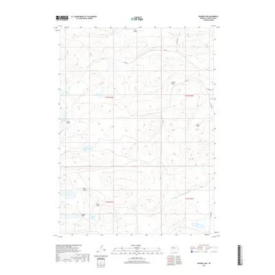
2017 Map of Bunner Lake
USGS Topo · Published 2017About this map
Bunner Lake and several smaller water bodies define this pocket of the Nebraska Sandhills, where a complex network of seasonal and permanent wetlands is interspersed among high ridges. The landscape is characterized by its named depressions and valleys, such as Long Valley and Hardy Valley, which served as critical navigation and ranching landmarks in this open terrain.
Find a feature on this map
21 named features on this map. Tap any name to fly to it.
Don’t see what you’re looking for? This feature index may not catch every label — zoom into the map to look around manually.
Map Details
Editions of this 2017 Bunner Lake Map
This is the sole edition of this map. No revisions or reprints were ever made.
Other maps of this area

1948 · Carr Lake
USGS Topo · 1:62,500

1948 · Whitman
USGS Topo · 1:62,500

1948 · Spring Valley
USGS Topo · 1:62,500

1950 · Spring Valley
USGS Topo · 1:62,500

1950 · Whitman
USGS Topo · 1:62,500

1950 · Carr Lake
USGS Topo · 1:62,500

1950 · Hire
USGS Topo · 1:62,500

1954 · North Platte
USGS Topo · 1:250,000

1956 · North Platte
USGS Topo · 1:250,000

1957 · North Platte
USGS Topo · 1:250,000