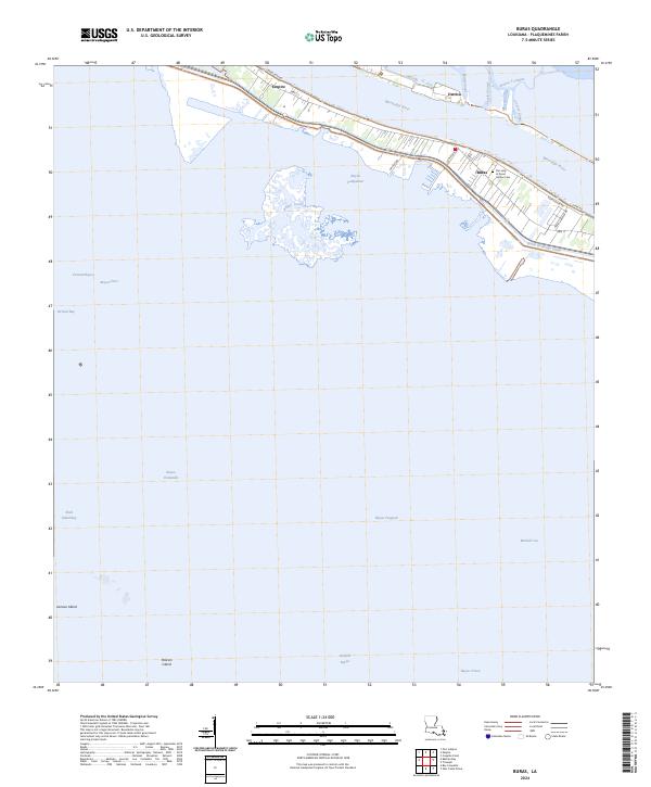
2024 Map of Buras
USGS Topo · Published 2024About this map
The Mississippi River carves a critical path through Plaquemines Parish in this modern survey, where the narrow land bridge supports the linear communities of Buras and Empire. The landscape is a complex network of man-made and natural waterways, featuring historic corridors like Buras River Rd and residential stretches along Navel Orange Dr. On the west bank, the Our Lady of Good Harbor Cem serves as a significant genealogical landmark for local families, while across the river, Ostrica sits at the edge of a transitioning marshland.
Find a feature on this map
35 named features on this map. Tap any name to fly to it.
Don’t see what you’re looking for? This feature index may not catch every label — zoom into the map to look around manually.
Map Details
Editions of this 2024 Buras Map
This is the sole edition of this map. No revisions or reprints were ever made.
Other maps of this area

1892 · Quarantine
USGS Topo · 1:62,500

1893 · Forts
USGS Topo · 1:62,500

1893 · West Delta
USGS Topo · 1:62,500

1935 · Port Sulphur
USGS Topo · 1:31,680

1935 · Bastian Bay
USGS Topo · 1:31,680

1935 · Tropical Bend
USGS Topo · 1:31,680

1941 · Empire
USGS Topo · 1:62,500

1944 · Empire
USGS Topo · 1:62,500

1946 · Pass Tante Phine
USGS Topo · 1:31,680

1947 · Buras
USGS Topo · 1:31,680